
1929 Map of Averill
USGS Topo · Published 1929About this map
Averill Lake and Little Averill Lake dominate the northwestern highlands of this terrain, where the Green Mountains meet the international border. The landscape is defined by an intensive early 20th-century logging infrastructure, evidenced by a dense network of numbered camps like Camp No 20 and Camp No 16 alongside numerous timber-related water controls such as Buzzell Dam and Peanut Dam. Along the eastern edge, the Connecticut River valley hosts the region's primary settlements, including Beecher Falls and Canaan.
Find a feature on this map
139 named features on this map. Tap any name to fly to it.
Don’t see what you’re looking for? This feature index may not catch every label — zoom into the map to look around manually.
Map Details
Editions of this 1929 Averill Map
5 editions found
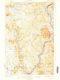
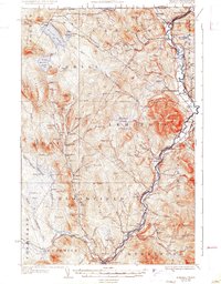
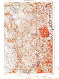
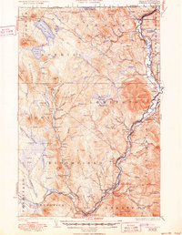
Other maps of this area

1920 · Guildhall
USGS Topo · 1:62,500

1924 · Island Pond
USGS Topo · 1:48,000

1925 · Indian Stream
USGS Topo · 1:48,000

1926 · Island Pond
USGS Topo · 1:62,500

1926 · Indian Stream
USGS Topo · 1:62,500

1927 · Indian Stream
USGS Topo · 1:62,500

1930 · Percy
USGS Topo · 1:62,500

1930 · Dixville
USGS Topo · 1:62,500

1931 · Guildhall
USGS Topo · 1:48,000

1933 · Guildhall
USGS Topo · 1:48,000