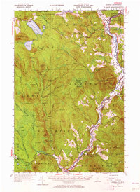
1953 Map of Averill
USGS Topo · Published 1965About this map
The Connecticut River serves as the primary boundary and economic artery for this section of the Northeast Kingdom, where the Maine Central RR tracks follow the water's edge. Communities such as Beecher Falls and North Stratford are established at key points along the river, supported by agricultural and industrial infrastructure like the Lemington Gravel Pit and a local Fish Hatchery. The landscape is dominated by timber-rich peaks, including Monadnock Mountain and its Lookout Tower, which oversee a terrain marked by numerous logging camps from Camp No 20 to Camp No 3.
Find a feature on this map
117 named features on this map. Tap any name to fly to it.
Don’t see what you’re looking for? This feature index may not catch every label — zoom into the map to look around manually.
Map Details
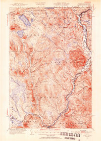
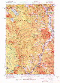
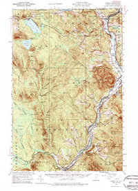
Editions of this 1953 Averill Map
5 editions found

Other maps of this area

1920 · Guildhall
USGS Topo · 1:62,500

1924 · Island Pond
USGS Topo · 1:48,000

1925 · Indian Stream
USGS Topo · 1:48,000

1926 · Island Pond
USGS Topo · 1:62,500

1926 · Indian Stream
USGS Topo · 1:62,500

1927 · Indian Stream
USGS Topo · 1:62,500

1929 · Averill
USGS Topo · 1:62,500

1930 · Percy
USGS Topo · 1:62,500

1930 · Dixville
USGS Topo · 1:62,500

1931 · Guildhall
USGS Topo · 1:48,000