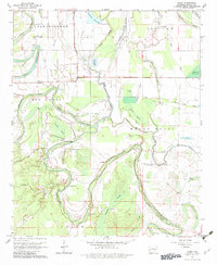
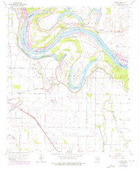
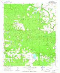
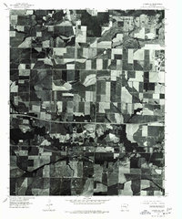
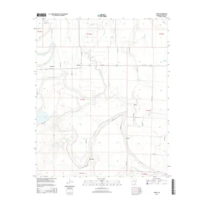
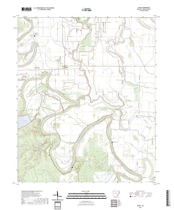
1964 Map of Avery
USGS Topo · Published 1983About this map
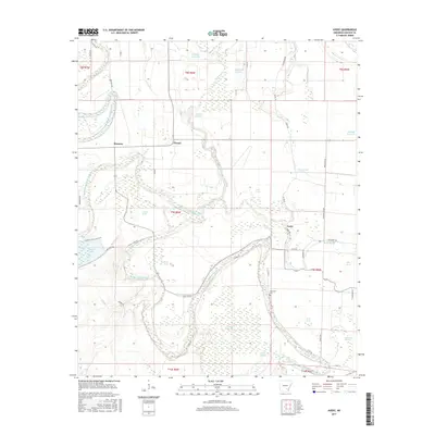
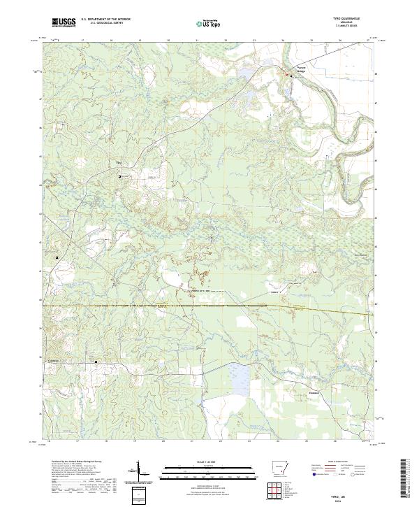
Bartholomew Bayou meanders through this portion of Lincoln County, defining a landscape of complex waterways, brakes, and sloughs. This 1964 survey captures a rural Arkansas delta environment where small settlements like Meroney, Fresno, and Avery are connected by a network of local roads and an Old Railroad Grade. The map provides significant genealogical value, identifying family-named landmarks and community centers such as Persons Chapel, Mt Olive Ch, and St Harmony Ch.
Find a feature on this map
42 named features on this map. Tap any name to fly to it.
Don’t see what you’re looking for? This feature index may not catch every label — zoom into the map to look around manually.
Map Details
Editions of this 1964 Avery Map
2 editions found
Historical Maps of Fresno Through Time
60 maps found

1935 Feenyville
Lincoln County, AR
1935 Rotan
Lincoln County, AR
1935 Varner
Lincoln County, AR
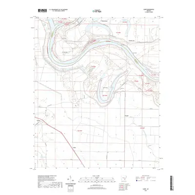
1964 Avery
Lincoln County, AR
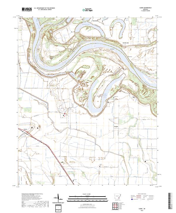
1964 Cades
Lincoln County, AR
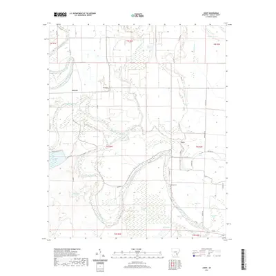
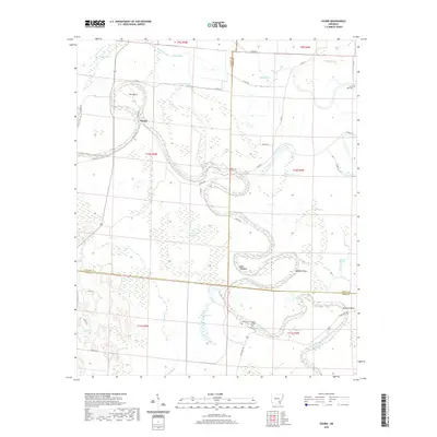
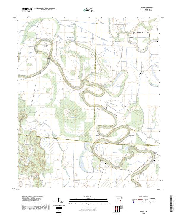
1964 Gourd
Lincoln County, AR
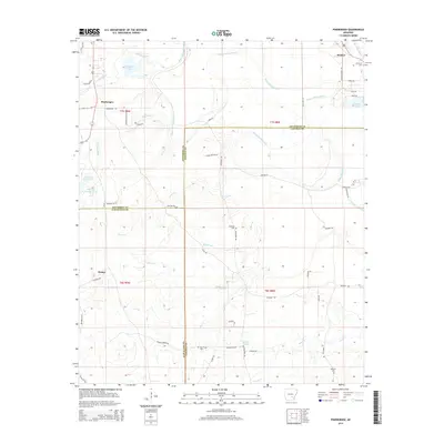
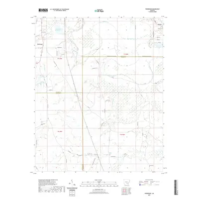
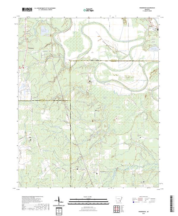
1964 Pinebergen
Lincoln County, AR
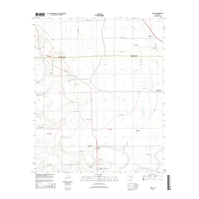
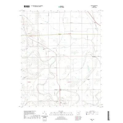
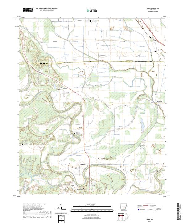
1964 Tarry
Lincoln County, AR
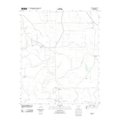
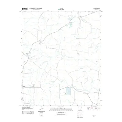
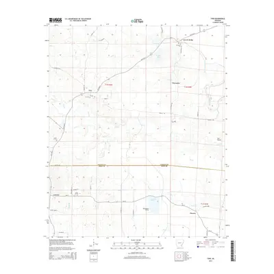
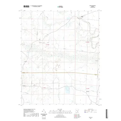
1964 Tyro
Lincoln County, AR

1968 Rotan
Lincoln County, AR
1971 Tarry
Lincoln County, AR
1973 Glendale
Lincoln County, AR
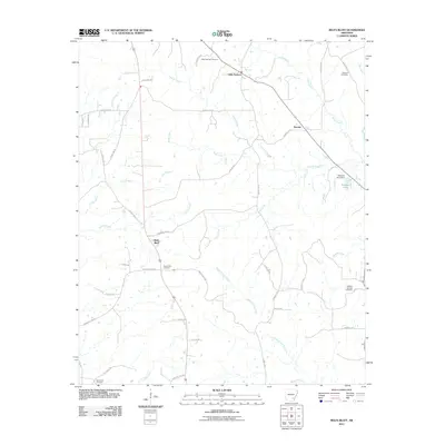
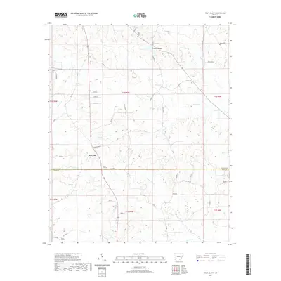
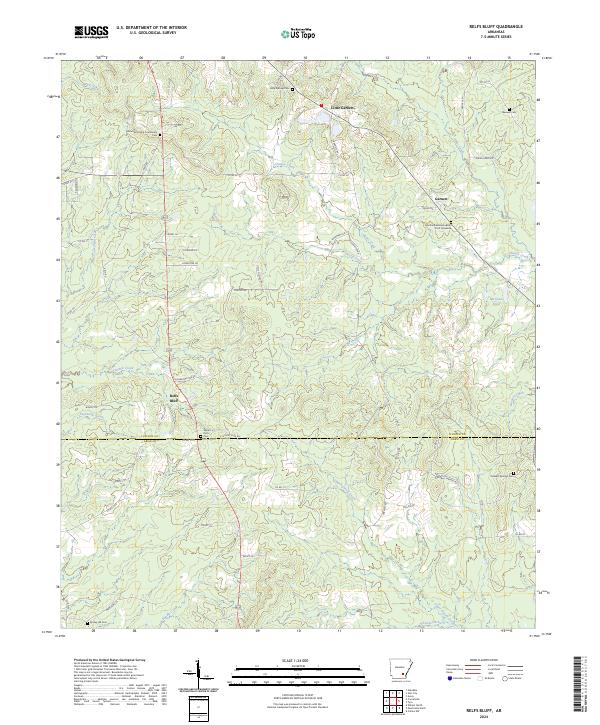
1973 Relfs Bluff
Lincoln County, AR
1975 Lonoke SE
Lincoln County, AR
1978 Varner
Lincoln County, AR
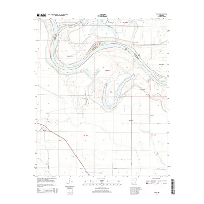
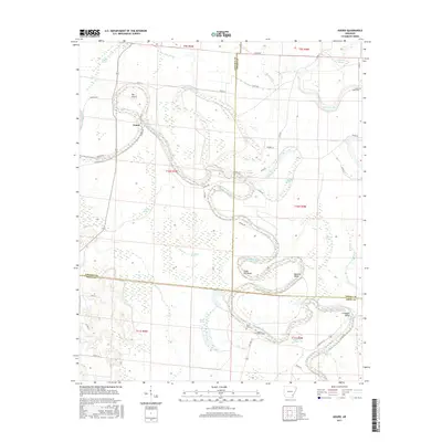
2011 Avery
Lincoln County, AR
2011 Cades
Lincoln County, AR
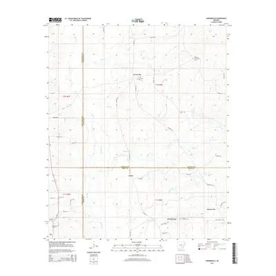
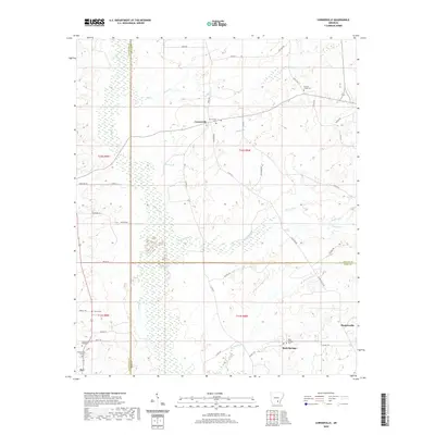
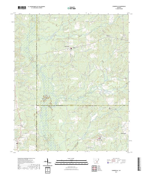
2011 Cornerville
Lincoln County, AR
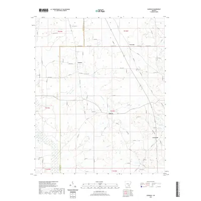
2011 Glendale
Lincoln County, AR
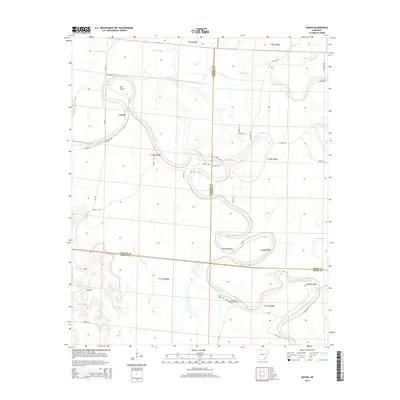
2011 Gourd
Lincoln County, AR
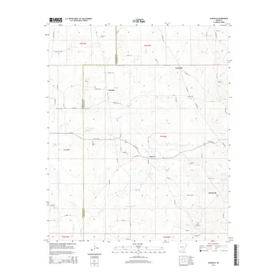
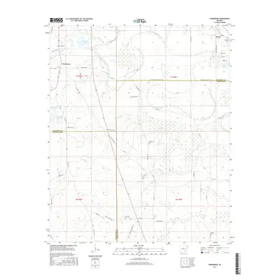
2011 Pinebergen
Lincoln County, AR
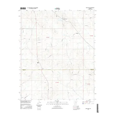
2011 Relfs Bluff
Lincoln County, AR
2011 Tarry
Lincoln County, AR
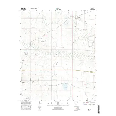
2011 Tyro
Lincoln County, AR
2014 Avery
Lincoln County, AR
2014 Cades
Lincoln County, AR
2014 Cornerville
Lincoln County, AR
2014 Glendale
Lincoln County, AR
2014 Gourd
Lincoln County, AR
2014 Pinebergen
Lincoln County, AR
2014 Relfs Bluff
Lincoln County, AR
2014 Tarry
Lincoln County, AR
2014 Tyro
Lincoln County, AR
2017 Avery
Lincoln County, AR
2017 Cades
Lincoln County, AR
2017 Cornerville
Lincoln County, AR
2017 Glendale
Lincoln County, AR
2017 Gourd
Lincoln County, AR
2017 Pinebergen
Lincoln County, AR
2017 Relfs Bluff
Lincoln County, AR

2017 Tarry
Lincoln County, AR
2017 Tyro
Lincoln County, AR
2020 Avery
Lincoln County, AR
2020 Cades
Lincoln County, AR
2020 Cornerville
Lincoln County, AR
2020 Glendale
Lincoln County, AR
2020 Gourd
Lincoln County, AR
2020 Pinebergen
Lincoln County, AR
2020 Relfs Bluff
Lincoln County, AR
2020 Tarry
Lincoln County, AR
2020 Tyro
Lincoln County, AR
2024 Avery
Lincoln County, AR
2024 Cades
Lincoln County, AR
2024 Cornerville
Lincoln County, AR

2024 Glendale
Lincoln County, AR
2024 Gourd
Lincoln County, AR
2024 Pinebergen
Lincoln County, AR
2024 Relfs Bluff
Lincoln County, AR
2024 Tarry
Lincoln County, AR
2024 Tyro
Lincoln County, AR