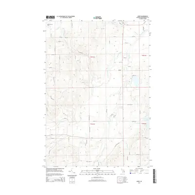
2014 Map of Avery
USGS Topo · Published 2014About this map
The Thunder Bay River and its dense network of tributaries, including Gilchrist Cr and Edwards Cr, dominate this section of Montmorency County. This modern topographic study reveals a landscape defined by water and timber, with the settlement of Avery situated north of the expansive Lockwood Lake. The surrounding area is marked by named ridges such as High Banks Dr and the Hardwood Hills Ln, suggesting the undulating relief of the northern lower peninsula.
Find a feature on this map
66 named features on this map. Tap any name to fly to it.
Don’t see what you’re looking for? This feature index may not catch every label — zoom into the map to look around manually.
Map Details
Editions of this 2014 Avery Map
This is the sole edition of this map. No revisions or reprints were ever made.
Other maps of this area

1954 · Traverse City
USGS Topo · 1:250,000

1954 · Tawas City
USGS Topo · 1:250,000

1954 · Alpena
USGS Topo · 1:250,000

1955 · Atlanta
USGS Topo · 1:62,500

1955 · Comins
USGS Topo · 1:62,500

1955 · Hillman
USGS Topo · 1:62,500

1955 · Cheboygan
USGS Topo · 1:250,000

1957 · Alpena
USGS Topo · 1:250,000

1958 · Cheboygan
USGS Topo · 1:250,000

1958 · Traverse City
USGS Topo · 1:250,000