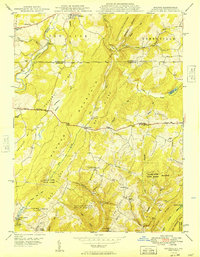
1949 Map of Avilton
USGS Topo · Published 1949About this map
Casselman River and the Baltimore and Ohio RR cut through the northern corner of this landscape, where the Pennsylvania Maryland Mason and Dixon Line divides the Allegheny highland. The geography is defined by parallel ridges including Meadow Mountain, Red Mountain, and Chestnut Ridge, creating a corrugated terrain of steep runs and high points. This post-war survey captures the rural character of Garrett County before modern development, centered on small crossroads like Avilton and Piney Grove.
Find a feature on this map
63 named features on this map. Tap any name to fly to it.
Don’t see what you’re looking for? This feature index may not catch every label — zoom into the map to look around manually.
Map Details
Editions of this 1949 Avilton Map
This is the sole edition of this map. No revisions or reprints were ever made.
Other maps of this area
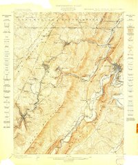
1898 · Frostburg
USGS Topo · 1:62,500

1899 · Grantsville
USGS Topo · 1:62,500
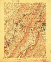
1901 · Frostburg
USGS Topo · 1:62,500
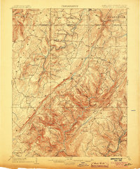
1904 · Grantsville
USGS Topo · 1:62,500
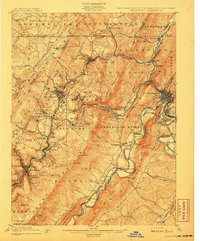
1908 · Frostburg
USGS Topo · 1:62,500
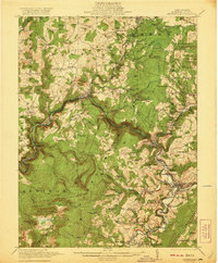
1921 · Meyersdale
USGS Topo · 1:62,500
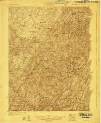
1923 · Berlin
USGS Topo · 1:48,000
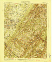
1929 · Berlin
USGS Topo · 1:62,500
1939 · Meyersdale
USGS Topo · 1:62,500
1944 · Berlin
USGS Topo · 1:62,500