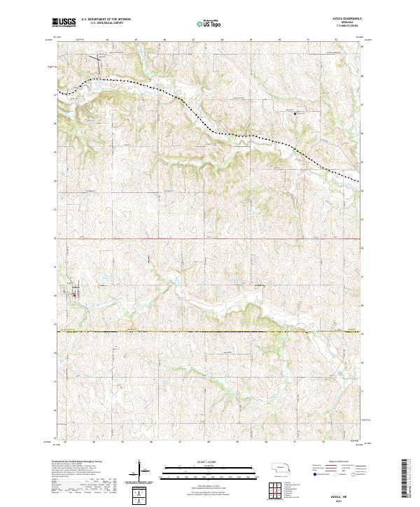
1966 Map of Avoca
USGS Topo · Published 1967About this map
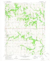
Avoca serves as a central hub in this agricultural landscape during the mid-1960s, situated at the junction of the Missouri Pacific railroad and the rolling hills of Cass and Otoe counties. The area is defined by its deep integration of industry and education, evidenced by numerous Quarries and local landmarks like the Center Hill Stone Sch and Dewey Sch. Rural life is further represented by several private airfields, including the Brown Airport and Barkhurst Landing Strip, which suggest a post-war reliance on light aircraft for crop management or personal transport.
Find a feature on this map
29 named features on this map. Tap any name to fly to it.
Don’t see what you’re looking for? This feature index may not catch every label — zoom into the map to look around manually.
Map Details
Editions of this 1966 Avoca Map
This is the sole edition of this map. No revisions or reprints were ever made.
Historical Maps of Avoca Through Time
5 maps found