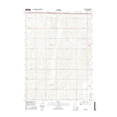
2015 Map of Avoca NW
USGS Topo · Published 2015About this map
Shelby sits at the northern edge of this landscape, where the interstate corridor meets the rolling agricultural terrain of Pottawattamie and Shelby counties. The area is defined by a dendritic drainage pattern of creeks, most notably Middle Silver Cr and Silver Cr, which flow southward through the sectioned farmland. These waterways have influenced a rural road network of tree-themed names, such as Whippoorwill Rd and Tamarack Rd, that generally adhere to the Public Land Survey System grid while occasionally deviating for the terrain. In the southwestern quadrant, the Silver Valley Cem stands as a local historical marker near Pinoak Rd. The southeastern corner includes a reach of the West Nishnabotna River, illustrating the transition from upland creek beds to more significant regional drainage. This survey reflects the modern organization of Iowa's prairie-turned-farmland, preserving the names of rural landmarks and the precise boundaries of T77N and T76N.
Find a feature on this map
19 named features on this map. Tap any name to fly to it.
Don’t see what you’re looking for? This feature index may not catch every label — zoom into the map to look around manually.
Map Details
Editions of this 2015 Avoca NW Map
This is the sole edition of this map. No revisions or reprints were ever made.
Other maps of this area

1954 · Omaha
USGS Topo · 1:250,000

1956 · Neola
USGS Topo · 1:24,000

1957 · Omaha
USGS Topo · 1:250,000

1957 · Taylor
USGS Topo · 1:24,000

1958 · Omaha
USGS Topo · 1:250,000

1963 · Avoca NW
USGS Topo · 1:24,000

1963 · Avoca SE
USGS Topo · 1:24,000

1963 · Oakland
USGS Topo · 1:24,000

1963 · Avoca
USGS Topo · 1:24,000

1978 · Corley
USGS Topo · 1:24,000