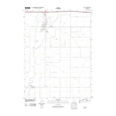
2010 Map of Avoca
USGS Topo · Published 2010About this map
Avoca and Hancock anchor this rural landscape in Pottawattamie County, centered on the winding path of the East Branch West Nishnabotna River. The township's character is defined by a grid of named rural routes, such as Whippoorwill Rd and Magnolia Rd, connecting family cemeteries and local landmarks. For genealogists, the locations of Graceland Cemetery, Newton Cemetery, and Oak Hill Cemetery provide essential points of interest for tracing early residents. The river system, including Jim Creek and Ballard Creek, creates a distinct topographical grain across the farmland. Community centers like the Avoca Fairgrounds and the local Avoca Post Office signal the town's enduring role as a regional hub. To the south, the small settlement of Nishna sits near the river bend, while the Hancock Post Office serves the community at the southern edge of the survey area.
Find a feature on this map
31 named features on this map. Tap any name to fly to it.
Don’t see what you’re looking for? This feature index may not catch every label — zoom into the map to look around manually.
Map Details
Editions of this 2010 Avoca Map
This is the sole edition of this map. No revisions or reprints were ever made.
Other maps of this area

1954 · Omaha
USGS Topo · 1:250,000

1957 · Omaha
USGS Topo · 1:250,000

1958 · Omaha
USGS Topo · 1:250,000

1963 · Avoca NW
USGS Topo · 1:24,000

1963 · Avoca SE
USGS Topo · 1:24,000

1963 · Oakland
USGS Topo · 1:24,000

1963 · Avoca
USGS Topo · 1:24,000

1971 · Walnut
USGS Topo · 1:24,000

1971 · Atlantic SW
USGS Topo · 1:24,000

1978 · Corley
USGS Topo · 1:24,000