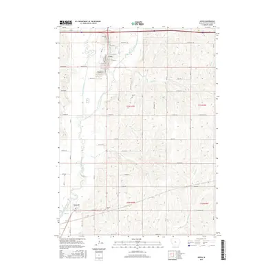
2015 Map of Avoca
USGS Topo · Published 2015About this map
Avoca and Hancock anchor this rural landscape in Pottawattamie County, situated along the winding corridors of the West Nishnabotna River and its major tributary, the East Branch West Nishnabotna River. The settlement pattern follows the fertile valleys, with the town of Avoca established at a critical bend in the east branch, where a grid of streets like N Walnut St and Park Ave meet the surrounding agricultural fields. Further south, the smaller community of Hancock sits near the main river channel, connected by a network of section-line roads such as Mahogany Rd and 430th St. Local history is preserved in several rural burial grounds, including Graceland Cem, Newton Cem, and Oak Hill Cem, which are scattered throughout the townships of T77N R39W and T76N R39W. The geography is defined by a series of small streams including Jim Cr, Ballard Cr, and Graybill Cr that carve through the upland plains.
Find a feature on this map
56 named features on this map. Tap any name to fly to it.
Don’t see what you’re looking for? This feature index may not catch every label — zoom into the map to look around manually.
Map Details
Editions of this 2015 Avoca Map
This is the sole edition of this map. No revisions or reprints were ever made.
Other maps of this area

1954 · Omaha
USGS Topo · 1:250,000

1957 · Omaha
USGS Topo · 1:250,000

1958 · Omaha
USGS Topo · 1:250,000

1963 · Avoca NW
USGS Topo · 1:24,000

1963 · Avoca SE
USGS Topo · 1:24,000

1963 · Oakland
USGS Topo · 1:24,000

1963 · Avoca
USGS Topo · 1:24,000

1971 · Walnut
USGS Topo · 1:24,000

1971 · Atlantic SW
USGS Topo · 1:24,000

1978 · Corley
USGS Topo · 1:24,000