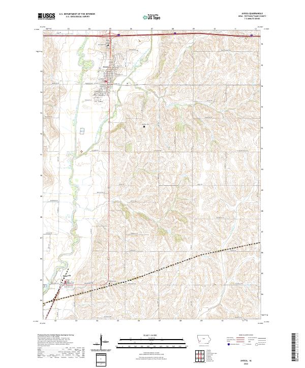
2022 Map of Avoca
USGS Topo · Published 2022About this map
The East Branch West Nishnabotna River and the West Nishnabotna River converge in this western Iowa landscape, defining the layout of the valley. The settlement of Avoca sits at the northern end of this reach, showing a traditional street grid tucked between the river and the surrounding uplands. Further south, the town of Hancock marks the confluence of several vital waterways and local road networks.
Find a feature on this map
32 named features on this map. Tap any name to fly to it.
Don’t see what you’re looking for? This feature index may not catch every label — zoom into the map to look around manually.
Map Details
Editions of this 2022 Avoca Map
This is the sole edition of this map. No revisions or reprints were ever made.
Other maps of this area

1954 · Omaha
USGS Topo · 1:250,000

1957 · Omaha
USGS Topo · 1:250,000

1958 · Omaha
USGS Topo · 1:250,000

1963 · Avoca NW
USGS Topo · 1:24,000

1963 · Avoca SE
USGS Topo · 1:24,000

1963 · Oakland
USGS Topo · 1:24,000

1963 · Avoca
USGS Topo · 1:24,000

1971 · Walnut
USGS Topo · 1:24,000

1971 · Atlantic SW
USGS Topo · 1:24,000

1978 · Corley
USGS Topo · 1:24,000