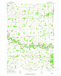
1961 Map of Avoca
USGS Topo · Published 1963About this map
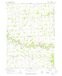
Avoca stands as a central rail point in this Michigan landscape, situated at the intersection of several local roads and the Chesapeake and Ohio railroad line. The surrounding townships of Greenwood and Kenockee are defined by a complex drainage network, where the winding course of Mill Creek and the Pine River dominate the southern half of the quadrangle. This area shows a typical mid-century rural Michigan settlement pattern, with small communities like Fargo and Abbottsford supported by a network of one-room schoolhouses such as Allen Sch and Swamp Sch.
Find a feature on this map
46 named features on this map. Tap any name to fly to it.
Don’t see what you’re looking for? This feature index may not catch every label — zoom into the map to look around manually.
Map Details
Editions of this 1961 Avoca Map
2 editions found
Other maps of this area

1914 · Armada
USGS Topo · 1:62,500

1928 · Armada
USGS Topo · 1:62,500

1928 · Hicky
USGS Topo · 1:62,500

1939 · Smiths Creek
USGS Topo · 1:24,000

1939 · Goodells
USGS Topo · 1:24,000

1944 · Memphis
USGS Topo · 1:24,000

1952 · Memphis
USGS Topo · 1:24,000
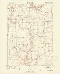
1952 · Smiths Creek
USGS Topo · 1:24,000
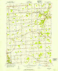
1952 · Goodells
USGS Topo · 1:24,000

1954 · Detroit
USGS Topo · 1:250,000