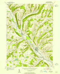
1953 Map of Avoca
USGS Topo · Published 1955About this map
The Cohocton River valley serves as the primary corridor for settlement and industry in this portion of Steuben County during the early 1950s. The village of Avoca sits at a strategic junction where multiple creeks, including Goff Creek and Salmon Creek, converge with the river. This hydrology dictated the path of competing rail lines, with the Erie RR and the Delaware Lackawanna and Western RR running nearly parallel through the heart of the valley, connecting the smaller hamlets of Bloomerville, Wallace, and Cohocton.
Find a feature on this map
51 named features on this map. Tap any name to fly to it.
Don’t see what you’re looking for? This feature index may not catch every label — zoom into the map to look around manually.
Map Details
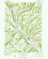
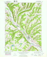
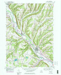
Editions of this 1953 Avoca Map
4 editions found
Other maps of this area

1900 · Naples
USGS Topo · 1:62,500

1902 · Wayland
USGS Topo · 1:62,500

1903 · Naples
USGS Topo · 1:62,500

1904 · Wayland
USGS Topo · 1:62,500

1910 · Bath
USGS Topo · 1:62,500

1913 · Naples
USGS Topo · 1:62,500

1915 · Hornell
USGS Topo · 1:62,500

1918 · Hornell
USGS Topo · 1:62,500

1942 · Wayland
USGS Topo · 1:31,680

1942 · Naples
USGS Topo · 1:31,680