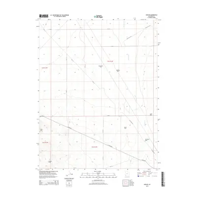
2014 Map of Avon SE
USGS Topo · Published 2014About this map
The Escalante Desert floor dominates this part of Iron County, where the high-altitude arid landscape is defined by vast alluvial washes and the transition into the Antelope Range. The mapping reflects a sparse, utilitarian network of roads like Avon Rd and E Antelope Rd that serve this expansive basin. Prominent landforms such as Three Peaks, Tucker Point, and Upper Point provide essential vertical orientation in a terrain otherwise characterized by the ephemeral drainage patterns of Dick Palmer Wash and Big Hollow Wash. The presence of Iron Springs Cr indicates the vital, if intermittent, water sources that historically dictated movement across this segment of the Great Basin. This document serves as a precise record of public land survey boundaries and rural infrastructure during the early twenty-first century.
Find a feature on this map
25 named features on this map. Tap any name to fly to it.
Don’t see what you’re looking for? This feature index may not catch every label — zoom into the map to look around manually.
Map Details
Editions of this 2014 Avon SE Map
This is the sole edition of this map. No revisions or reprints were ever made.
Other maps of this area

1885 · St. George
USGS Topo · 1:250,000

1891 · St. George
USGS Topo · 1:250,000

1949 · Cedar City NW
USGS Topo · 1:24,000

1950 · Cedar City NW
USGS Topo · 1:24,000

1950 · Antelope Peak
USGS Topo · 1:24,000

1950 · Enoch
USGS Topo · 1:62,500

1950 · Iron Mountain
USGS Topo · 1:62,500

1950 · Cedar City
USGS Topo · 1:62,500

1950 · The Three Peaks
USGS Topo · 1:24,000

1950 · Silver Peak
USGS Topo · 1:24,000