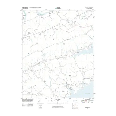
2010 Map of Avondale
USGS Topo · Published 2010About this map
Cherokee Lake dominates the southern landscape of this Grainger County region, where the Holston River has been transformed into a sprawling reservoir system. The terrain is defined by a series of parallel ridges and valleys, including Poor Valley Ridge and McCarty Ridge, which dictate the local road network and settlement patterns. Notable water sources like Iron Water Spring and White Sulfur Spring hint at the area's geological character and historical reliance on local mineral springs.
Find a feature on this map
130 named features on this map. Tap any name to fly to it.
Don’t see what you’re looking for? This feature index may not catch every label — zoom into the map to look around manually.
Map Details
Editions of this 2010 Avondale Map
This is the sole edition of this map. No revisions or reprints were ever made.
Other maps of this area

1883 · Morristown
USGS Topo · 1:125,000

1893 · Morristown
USGS Topo · 1:125,000

1895 · Morristown
USGS Topo · 1:125,000

1897 · Maynardville
USGS Topo · 1:125,000

1900 · Maynardville
USGS Topo · 1:125,000

1935 · Tate Springs
USGS Topo · 1:48,000

1935 · Straw Plains
USGS Topo · 1:48,000

1935 · Joppa
USGS Topo · 1:24,000

1935 · Howard Quarter
USGS Topo · 1:24,000

1935 · Swan Island
USGS Topo · 1:24,000