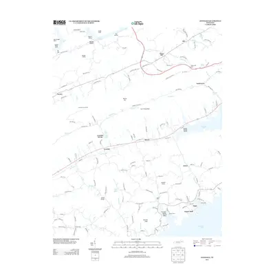
2013 Map of Avondale
USGS Topo · Published 2013About this map
Avondale Springs and the surrounding Ridge-and-Valley landscape define this portion of East Tennessee, where the waters of Cherokee Lake and Norris Lake reach into the narrow valleys. The settlement of Avondale serves as a central point along the corridor of Richland Creek, while numerous mineral springs like White Sulfur Spring and Free Stone Spring hint at the area's geological character. To the north, the terrain climbs toward Poor Valley Ridge and the Avondale Lookout Tower, overlooking a network of hollows such as Sulphur Springs Hollow and Kettle Hollow. The map documents a landscape of small communities including Thorn Hill, Beech Grove, and Idol, connected by winding routes like Old US Hwy 11 W and Bullen Valley Road. Lakeside activity is evident at the Southern Dock and Gilmore Dock, reflecting the recreational and residential development along the shoreline of these major reservoirs.
Find a feature on this map
104 named features on this map. Tap any name to fly to it.
Don’t see what you’re looking for? This feature index may not catch every label — zoom into the map to look around manually.
Map Details
Editions of this 2013 Avondale Map
This is the sole edition of this map. No revisions or reprints were ever made.
Other maps of this area

1883 · Morristown
USGS Topo · 1:125,000

1893 · Morristown
USGS Topo · 1:125,000

1895 · Morristown
USGS Topo · 1:125,000

1897 · Maynardville
USGS Topo · 1:125,000

1900 · Maynardville
USGS Topo · 1:125,000

1935 · Tate Springs
USGS Topo · 1:48,000

1935 · Straw Plains
USGS Topo · 1:48,000

1935 · Joppa
USGS Topo · 1:24,000

1935 · Howard Quarter
USGS Topo · 1:24,000

1935 · Swan Island
USGS Topo · 1:24,000