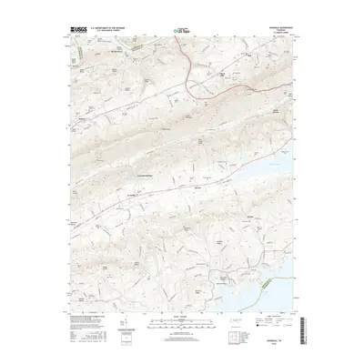
2016 Map of Avondale
USGS Topo · Published 2016About this map
Clinch Mountain and the parallel folds of Copper Ridge dominate this section of Grainger County, creating a landscape of narrow valleys and isolated hollows. Between these ridges, the settlements of Avondale and Thorn Hill are defined by a complex network of springs, including Red Sulfur Spring, Lithia Spring, and White Sulfur Spring at Avondale Springs. These water sources were historically significant for local communities and travelers moving through Notchy Gap or along Richland Valley.
Find a feature on this map
166 named features on this map. Tap any name to fly to it.
Don’t see what you’re looking for? This feature index may not catch every label — zoom into the map to look around manually.
Map Details
Editions of this 2016 Avondale Map
This is the sole edition of this map. No revisions or reprints were ever made.
Other maps of this area

1883 · Morristown
USGS Topo · 1:125,000

1893 · Morristown
USGS Topo · 1:125,000

1895 · Morristown
USGS Topo · 1:125,000

1897 · Maynardville
USGS Topo · 1:125,000

1900 · Maynardville
USGS Topo · 1:125,000

1935 · Tate Springs
USGS Topo · 1:48,000

1935 · Straw Plains
USGS Topo · 1:48,000

1935 · Joppa
USGS Topo · 1:24,000

1935 · Howard Quarter
USGS Topo · 1:24,000

1935 · Swan Island
USGS Topo · 1:24,000