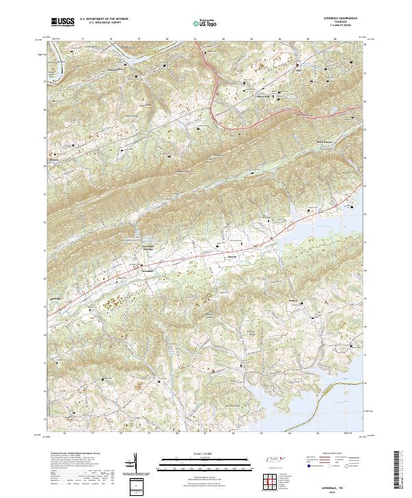
2022 Map of Avondale
USGS Topo · Published 2022About this map
Avondale Springs and the surrounding Richland Valley character are defined by a unique concentration of mineral water sources, including Lithia Spring, Red Sulfur Spring, and Iron Water Spring. These features suggest a local landscape steeped in the history of early mineral water resorts and springs, common to this pocket of East Tennessee. The map reveals a dense network of family-named cemeteries and landmarks that speak to generations of settlement across Clinch Mountain and Copper Ridge. Genealogists will find particular value in the numerous burial grounds, such as the Slave Cem and Helton Springs Cem, which provide tangible links to the area's social history. To the north and south, the presence of Norris Lake and Cherokee Lake marks the hydrological transformation of the valleys, while the interior remains a complex landscape of ridges and hollows like Skinfoot Ridge and Happy Hollow.
Find a feature on this map
166 named features on this map. Tap any name to fly to it.
Don’t see what you’re looking for? This feature index may not catch every label — zoom into the map to look around manually.
Map Details
Editions of this 2022 Avondale Map
This is the sole edition of this map. No revisions or reprints were ever made.
Other maps of this area

1883 · Morristown
USGS Topo · 1:125,000

1893 · Morristown
USGS Topo · 1:125,000

1895 · Morristown
USGS Topo · 1:125,000

1897 · Maynardville
USGS Topo · 1:125,000

1900 · Maynardville
USGS Topo · 1:125,000

1935 · Tate Springs
USGS Topo · 1:48,000

1935 · Straw Plains
USGS Topo · 1:48,000

1935 · Joppa
USGS Topo · 1:24,000

1935 · Howard Quarter
USGS Topo · 1:24,000

1935 · Swan Island
USGS Topo · 1:24,000