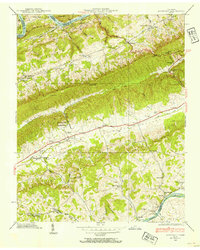
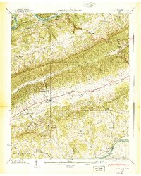
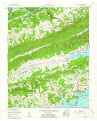
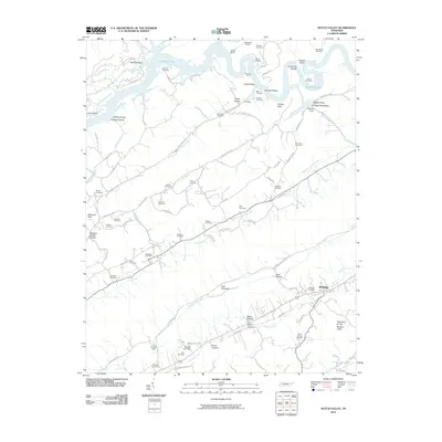
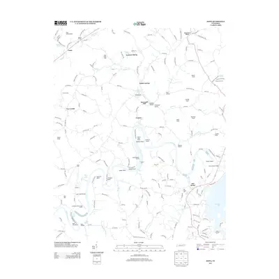
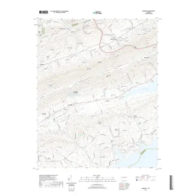
1938 Map of Avondale
USGS Topo · Published 1954About this map
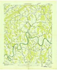
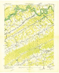
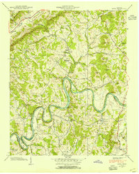
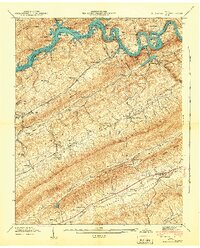
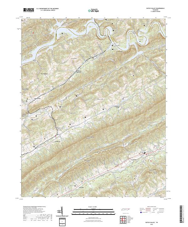
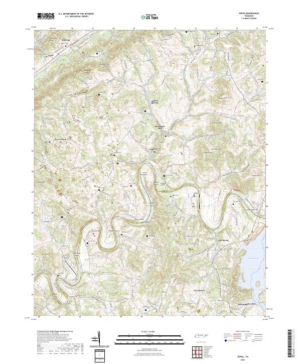
Clinch Mountain and Copper Ridge dominate this portion of Grainger and Hamblen counties, carving the landscape into parallel valleys defined by the Clinch River to the north and the Holston River to the south. The 1938 topography reveals a transition in the northern watershed as the Norris Reservoir reaches into Condry Bend, marking the early years of the Tennessee Valley Authority's influence on local geography. Along the central corridor of Richland Valley, small communities like Avondale and Bowen serve as focal points for rural life, connected by a network of schools such as Limestone Sch and Avondale Sch.
Find a feature on this map
55 named features on this map. Tap any name to fly to it.
Don’t see what you’re looking for? This feature index may not catch every label — zoom into the map to look around manually.
Map Details
Editions of this 1938 Avondale Map
This is the sole edition of this map. No revisions or reprints were ever made.
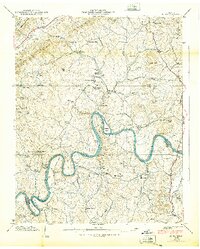
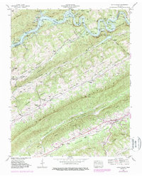
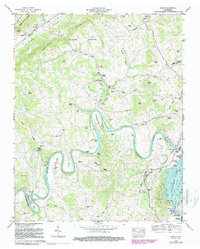
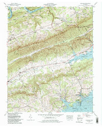
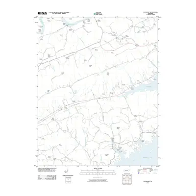
Historical Maps of Rutledge Through Time
28 maps found

1935 Avondale
Grainger County, TN
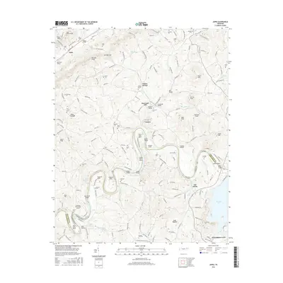
1935 Joppa
Grainger County, TN

1935 Tate Springs
Grainger County, TN
1936 Dutch Valley
Grainger County, TN
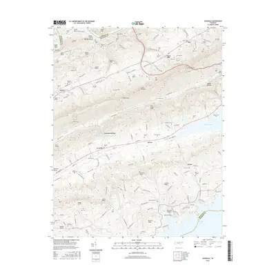
1938 Avondale
Grainger County, TN
1938 Joppa
Grainger County, TN
1939 Avondale
Grainger County, TN
1939 Joppa
Grainger County, TN
1941 Dutch Valley
Grainger County, TN
1942 Dutch Valley
Grainger County, TN
1960 Avondale
Grainger County, TN
1961 Joppa
Grainger County, TN
1979 Avondale
Grainger County, TN
2010 Avondale
Grainger County, TN
2010 Dutch Valley
Grainger County, TN
2010 Joppa
Grainger County, TN
2013 Avondale
Grainger County, TN
2013 Dutch Valley
Grainger County, TN
2013 Joppa
Grainger County, TN
2016 Avondale
Grainger County, TN
2016 Dutch Valley
Grainger County, TN
2016 Joppa
Grainger County, TN
2019 Avondale
Grainger County, TN
2019 Dutch Valley
Grainger County, TN
2019 Joppa
Grainger County, TN
2022 Avondale
Grainger County, TN
2022 Dutch Valley
Grainger County, TN
2022 Joppa
Grainger County, TN