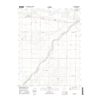
2016 Map of Avondale
USGS Topo · Published 2016About this map
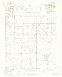
The Arkansas River corridor defines the geography of this Pueblo County region, serving as the central artery for a complex system of agricultural irrigation. Evidence of this hydraulic engineering is seen in the Colorado Canal and the Bessemer Ditch, which redirect water across the arid landscape. The settlement of Avondale sits north of the river, while the site of Fort Reynolds marks a historical point of interest along the riverbanks.
Find a feature on this map
47 named features on this map. Tap any name to fly to it.
Don’t see what you’re looking for? This feature index may not catch every label — zoom into the map to look around manually.
Map Details
Editions of this 2016 Avondale Map
This is the sole edition of this map. No revisions or reprints were ever made.
Other maps of this area

1891 · Nepesta
USGS Topo · 1:125,000

1893 · Nepesta
USGS Topo · 1:125,000

1904 · Nepesta
USGS Topo · 1:125,000

1954 · Pueblo
USGS Topo · 1:250,000

1957 · Pueblo
USGS Topo · 1:250,000

1958 · Pueblo
USGS Topo · 1:250,000
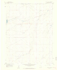
1959 · Flying A Ranch
USGS Topo · 1:24,000
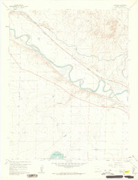
1960 · Nepesta
USGS Topo · 1:24,000
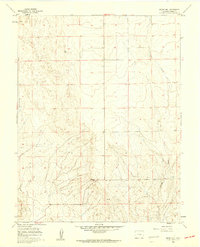
1960 · Boone Hill
USGS Topo · 1:24,000
1960 · Vineland
USGS Topo · 1:24,000