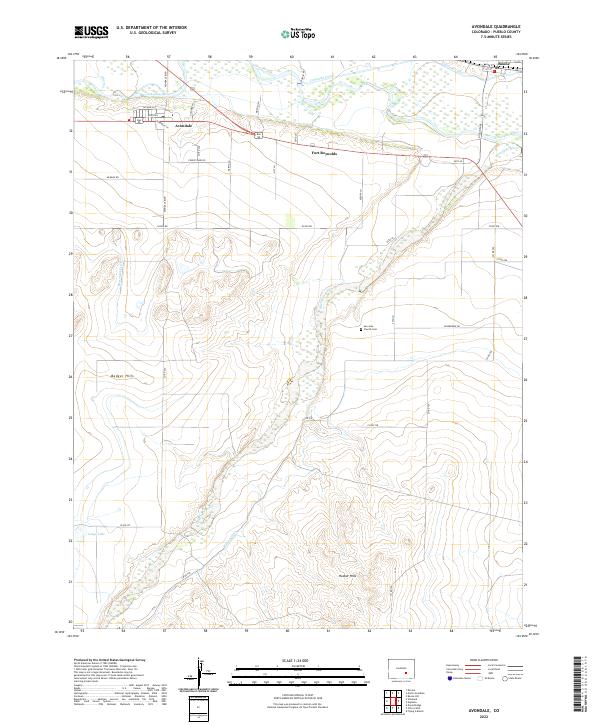
2022 Map of Avondale
USGS Topo · Published 2022About this map
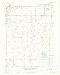
The Arkansas River corridor east of Pueblo is defined by a complex network of historic irrigation infrastructure and small agricultural settlements. This 2022 survey shows the convergence of the Huerfano River and the main river channel near Fort Reynolds, an area shaped by long-standing water rights and land use. The presence of the Colorado Canal, Bessemer Ditch, and Welton Ditch illustrates the vital role of water management in this arid landscape.
Find a feature on this map
45 named features on this map. Tap any name to fly to it.
Don’t see what you’re looking for? This feature index may not catch every label — zoom into the map to look around manually.
Map Details
Editions of this 2022 Avondale Map
This is the sole edition of this map. No revisions or reprints were ever made.
Other maps of this area

1891 · Nepesta
USGS Topo · 1:125,000

1893 · Nepesta
USGS Topo · 1:125,000

1904 · Nepesta
USGS Topo · 1:125,000

1954 · Pueblo
USGS Topo · 1:250,000

1957 · Pueblo
USGS Topo · 1:250,000

1958 · Pueblo
USGS Topo · 1:250,000
1959 · Flying A Ranch
USGS Topo · 1:24,000
1960 · Nepesta
USGS Topo · 1:24,000
1960 · Boone Hill
USGS Topo · 1:24,000
1960 · Vineland
USGS Topo · 1:24,000