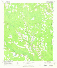
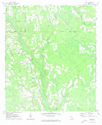
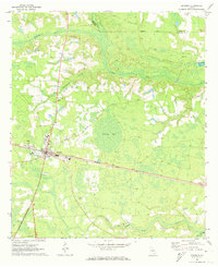
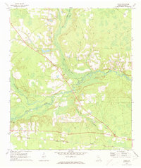
1971 Map of Axson
USGS Topo · Published 1974About this map
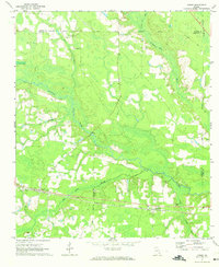
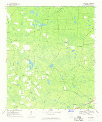
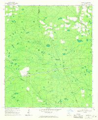
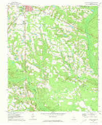
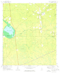
The Seaboard Coast Line railroad creates a dominant east-west axis through this portion of Atkinson and Ware Counties, connecting the settlements of Axson and Millwood. The landscape is defined by the winding course of the Satilla River and its numerous tributaries, including Smut Branch, Big Branch, and the Seventeen Mile River. These waterways carve through the coastal plain, creating a complex network of wetlands and low-lying basins that influenced the placement of early homesteads and transport routes.
Find a feature on this map
22 named features on this map. Tap any name to fly to it.
Don’t see what you’re looking for? This feature index may not catch every label — zoom into the map to look around manually.
Map Details
Editions of this 1971 Axson Map
This is the sole edition of this map. No revisions or reprints were ever made.
Other maps of this area

1953 · Waycross
USGS Topo · 1:250,000

1958 · Waycross
USGS Topo · 1:250,000
1967 · Pine Valley
USGS Topo · 1:24,000
1968 · Cogdell
USGS Topo · 1:24,000
1971 · Douglas South
USGS Topo · 1:24,000
1971 · Wilsonville
USGS Topo · 1:24,000
1971 · Beach
USGS Topo · 1:24,000
1971 · Pearson
USGS Topo · 1:24,000
1971 · Talmo
USGS Topo · 1:24,000
1972 · Sandy Bottom
USGS Topo · 1:24,000