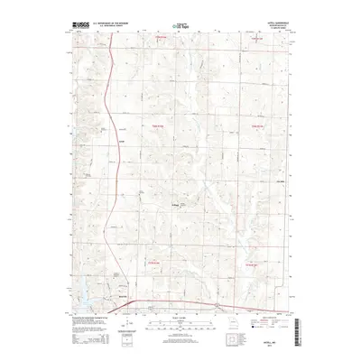
2014 Map of Axtell
USGS Topo · Published 2014About this map
Macon anchors the southern edge of this landscape, where the town's northern expansion meets a network of small creeks and rural cemeteries. The Middle Fork Salt River winds through the eastern half of the terrain, fed by tributaries such as Billys Br and Brush Cr. Smaller settlements like Axtell and Kellogg are positioned along the primary north-south corridor, reflecting the region's agricultural layout and transit patterns.
Find a feature on this map
46 named features on this map. Tap any name to fly to it.
Don’t see what you’re looking for? This feature index may not catch every label — zoom into the map to look around manually.
Map Details
Editions of this 2014 Axtell Map
This is the sole edition of this map. No revisions or reprints were ever made.
Other maps of this area

1908 · Atlanta
USGS Topo · 1:62,500

1908 · Macon
USGS Topo · 1:62,500

1910 · Macon
USGS Topo · 1:62,500

1937 · Elmer
USGS Topo · 1:48,000

1942 · Elmer
USGS Topo · 1:62,500

1953 · Moberly
USGS Topo · 1:250,000

1953 · Bevier South
USGS Topo · 1:24,000

1954 · Moberly
USGS Topo · 1:250,000

1957 · Moberly
USGS Topo · 1:250,000

1960 · Moberly
USGS Topo · 1:250,000