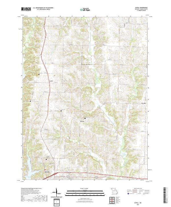
2021 Map of Axtell
USGS Topo · Published 2021About this map
The Middle Fork Salt River meanders southward through the center of this Missouri landscape, anchoring a rural topography defined by small drainages and scattered settlements. To the south, the city of Macon serves as a regional hub, with Macon Lake and the expansive Hillcrest Memorial Gardens marking its northern outskirts. The map reveals the distribution of historical hamlets such as Axtell and Kellogg, which remain linked by a grid of county roads and local routes like State Hwy DD.
Find a feature on this map
67 named features on this map. Tap any name to fly to it.
Don’t see what you’re looking for? This feature index may not catch every label — zoom into the map to look around manually.
Map Details
Editions of this 2021 Axtell Map
This is the sole edition of this map. No revisions or reprints were ever made.
Other maps of this area
1908 · Atlanta
USGS Topo · 1:62,500
1908 · Macon
USGS Topo · 1:62,500
1910 · Macon
USGS Topo · 1:62,500
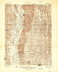
1937 · Elmer
USGS Topo · 1:48,000
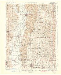
1942 · Elmer
USGS Topo · 1:62,500
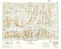
1953 · Moberly
USGS Topo · 1:250,000
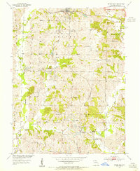
1953 · Bevier South
USGS Topo · 1:24,000
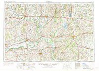
1954 · Moberly
USGS Topo · 1:250,000
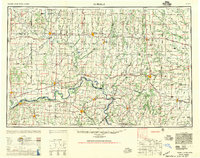
1957 · Moberly
USGS Topo · 1:250,000
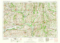
1960 · Moberly
USGS Topo · 1:250,000