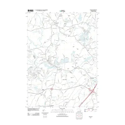
2012 Map of Ayer
USGS Topo · Published 2012About this map
Groton and Ayer anchor this North Central Massachusetts landscape, where the Nashua River and Squannacook River wind through a complex of glacial hills and numerous ponds. The area's agricultural and communal history is reflected in landmarks like Doe Orchards and the historic Shaker Village located near the Shaker Hills Golf Course. Military and scientific activity are evident at the Moore AAF Airport and the Harvard University Observatory near Harvard. The terrain is characterized by named elevations such as Gibbet Hill and Nonaicoicus Hill, which rise above significant water bodies like Lost Lake and Spectacle Pond. This period shows a mature transportation network connecting smaller hamlets like Pingryville and Devenscrest to the larger centers of Littleton and Ayer.
Find a feature on this map
185 named features on this map. Tap any name to fly to it.
Don’t see what you’re looking for? This feature index may not catch every label — zoom into the map to look around manually.
Map Details
Editions of this 2012 Ayer Map
This is the sole edition of this map. No revisions or reprints were ever made.
Other maps of this area

1886 · Lowell
USGS Topo · 1:62,500

1886 · Framingham
USGS Topo · 1:62,500

1887 · Marlboro
USGS Topo · 1:62,500

1889 · Marlboro
USGS Topo · 1:62,500

1889 · Framingham
USGS Topo · 1:62,500

1893 · Lowell
USGS Topo · 1:62,500

1893 · Groton
USGS Topo · 1:62,500

1894 · Framingham
USGS Topo · 1:62,500

1896 · Marlboro
USGS Topo · 1:62,500

1898 · Marlboro
USGS Topo · 1:62,500