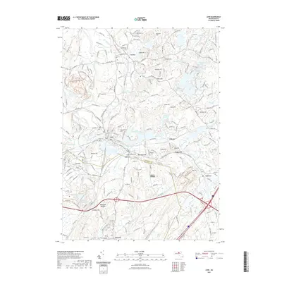
2021 Map of Ayer
USGS Topo · Published 2021About this map
Groton and the surrounding Middlesex County landscape appear here as a corridor of preserved history and modern transit. The Nashua River Rail Trl follows the path of former industry, cutting through a terrain defined by glacial drumlins and numerous water bodies such as Springy Pond and Martins Pond. Significant local history is anchored at Shaker Village and the military grounds of Devens, which include the specialized Woodlawn Cem Soldiers Lot and Devens Cem.
Find a feature on this map
98 named features on this map. Tap any name to fly to it.
Don’t see what you’re looking for? This feature index may not catch every label — zoom into the map to look around manually.
Map Details
Editions of this 2021 Ayer Map
This is the sole edition of this map. No revisions or reprints were ever made.
Other maps of this area

1886 · Lowell
USGS Topo · 1:62,500

1886 · Framingham
USGS Topo · 1:62,500

1887 · Marlboro
USGS Topo · 1:62,500

1889 · Marlboro
USGS Topo · 1:62,500

1889 · Framingham
USGS Topo · 1:62,500

1893 · Lowell
USGS Topo · 1:62,500

1893 · Groton
USGS Topo · 1:62,500

1894 · Framingham
USGS Topo · 1:62,500

1896 · Marlboro
USGS Topo · 1:62,500

1898 · Marlboro
USGS Topo · 1:62,500