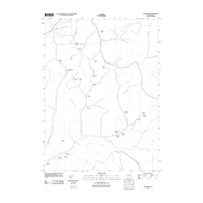
2010 Map of Ayers Hill
USGS Topo · Published 2010About this map
Ayers Hill and the small settlement of Borie anchor this 2010 topographic portrait of Potter County, Pennsylvania. The landscape is defined by a dense network of hollows and runs, including the curiously named Black Hole and Mud Lick Hollow. For genealogists, the map is particularly valuable for its placement of several remote burial grounds, such as Ayers Hill Cemetery, Anson Cemetery, Jackson Cemetery, and Reed Cemetery.
Find a feature on this map
61 named features on this map. Tap any name to fly to it.
Don’t see what you’re looking for? This feature index may not catch every label — zoom into the map to look around manually.
Map Details
Editions of this 2010 Ayers Hill Map
This is the sole edition of this map. No revisions or reprints were ever made.
Other maps of this area

1932 · Genesee
USGS Topo · 1:62,500

1934 · Coudersport
USGS Topo · 1:48,000

1937 · Genesee
USGS Topo · 1:62,500

1938 · Coudersport
USGS Topo · 1:62,500

1947 · Conrad
USGS Topo · 1:62,500

1947 · Conrad
USGS Topo · 1:24,000

1947 · Short Run
USGS Topo · 1:24,000

1947 · Ayers Hill
USGS Topo · 1:24,000

1947 · Cherry Springs
USGS Topo · 1:24,000

1948 · Emporium
USGS Topo · 1:62,500
Featured Places
- Sweden Township, PA
- Homer Township, PA
- Ayers Hill, Homer Township
- Eulalia Township, PA
- Summit Township, PA