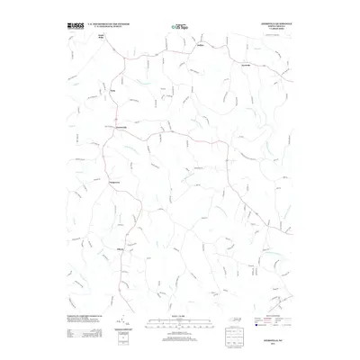
2013 Map of Ayersville
USGS Topo · Published 2013About this map
Big Beaver Island Creek and its southern counterpart, Little Beaver Island Creek, carve a dendritic drainage pattern across this Piedmont landscape just north of the Dan River. The area is defined by a network of small, established communities including Ayersville, Buffalo, and Prestonville, which are connected by winding rural routes such as Buffalo Road and Goinstown Road.
Find a feature on this map
130 named features on this map. Tap any name to fly to it.
Don’t see what you’re looking for? This feature index may not catch every label — zoom into the map to look around manually.
Map Details
Editions of this 2013 Ayersville Map
This is the sole edition of this map. No revisions or reprints were ever made.
Other maps of this area

1924 · Martinsville
USGS Topo · 1:48,000

1926 · Martinsville
USGS Topo · 1:62,500

1926 · Critz
USGS Topo · 1:48,000

1927 · Martinsville
USGS Topo · 1:62,500

1928 · Critz
USGS Topo · 1:62,500

1944 · Martinsville
USGS Topo · 1:62,500

1953 · Winston-Salem
USGS Topo · 1:250,000

1953 · Greensboro
USGS Topo · 1:250,000

1954 · Greensboro
USGS Topo · 1:250,000

1955 · Winston-Salem
USGS Topo · 1:250,000