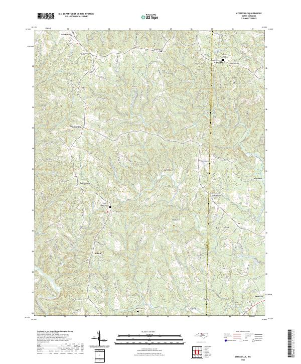
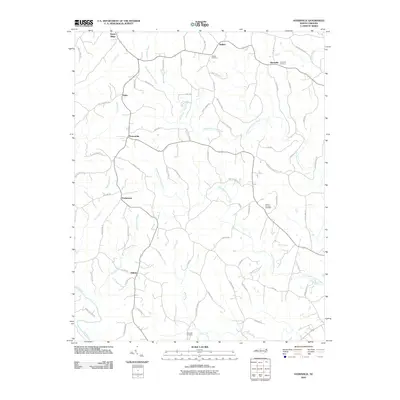
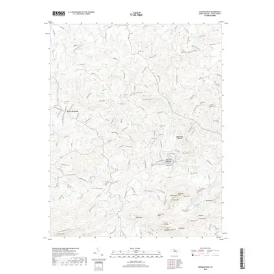
2022 Map of Ayersville
USGS Topo · Published 2022About this map
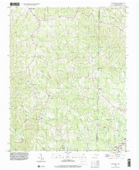
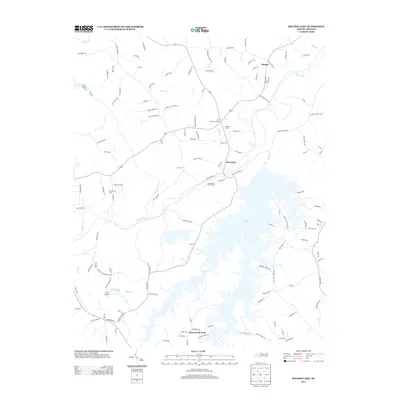
The rolling borderlands of the North Carolina Piedmont come to life in this detailed survey, where the Stokes and Rockingham county line bisects a landscape of winding creeks and rural settlements. Centered around Ayersville, the map reveals a community anchored by spiritual and ancestral sites, including the Ayersville Baptist Church Cemetery and Mount Hermon United Methodist Church Cemetery. To the west, the terrain is shaped by the drainage of Ugly Branch and Blackies Branch, leading down toward the southern corridor where the Dan River flows near the town of Madison. The road network, including family-named routes like Noel Martin Road and Ralph Joyce Road, illustrates the deep-rooted local history and parcel divisions of this region near the Virginia state line. This modern record preserves the locations of numerous historic burying grounds, such as Buffalo Cemetery and Bethesda Cemetery, which serve as vital touchstones for genealogical research in this part of North Carolina.
Find a feature on this map
126 named features on this map. Tap any name to fly to it.
Don’t see what you’re looking for? This feature index may not catch every label — zoom into the map to look around manually.
Map Details
Editions of this 2022 Ayersville Map
This is the sole edition of this map. No revisions or reprints were ever made.
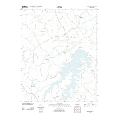
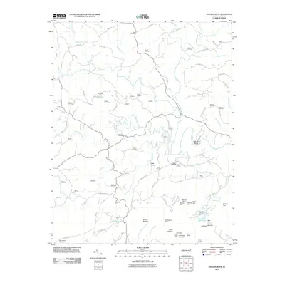
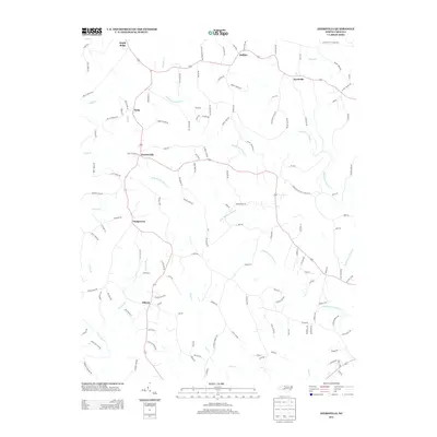
Historical Maps of Madison Through Time
22 maps found
1964 Hanging Rock
Stokes County, NC
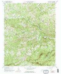
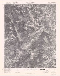
1971 Ayersville
Stokes County, NC
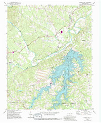
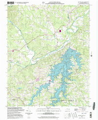
1971 Belews Lake
Stokes County, NC
1977 Belews Lake
Stokes County, NC
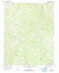
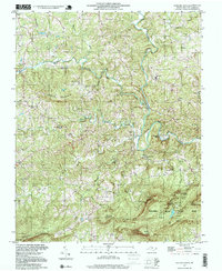
1996 Ayersville
Stokes County, NC
1997 Hanging Rock
Stokes County, NC
2000 Belews Lake
Stokes County, NC
2010 Ayersville
Stokes County, NC
2010 Belews Lake
Stokes County, NC
2010 Hanging Rock
Stokes County, NC
2013 Ayersville
Stokes County, NC
2013 Belews Lake
Stokes County, NC
2013 Hanging Rock
Stokes County, NC
2016 Ayersville
Stokes County, NC
2016 Belews Lake
Stokes County, NC
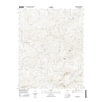
2016 Hanging Rock
Stokes County, NC
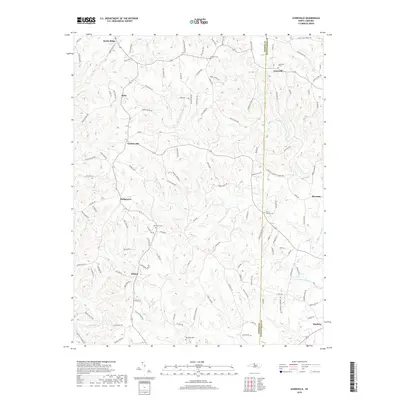
2019 Ayersville
Stokes County, NC
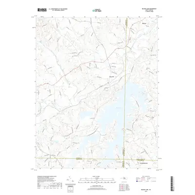
2019 Belews Lake
Stokes County, NC
2019 Hanging Rock
Stokes County, NC
2022 Ayersville
Stokes County, NC
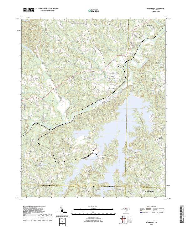
2022 Belews Lake
Stokes County, NC
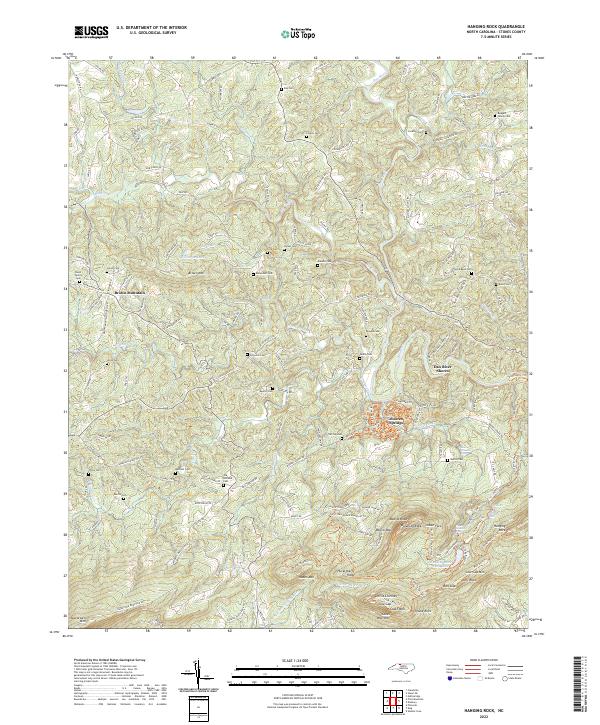
2022 Hanging Rock
Stokes County, NC