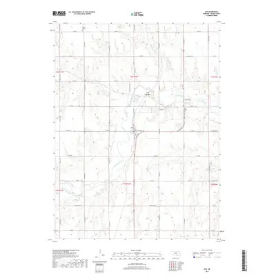
2017 Map of Ayr
USGS Topo · Published 2017About this map
The Little Blue River valley defines the character of this Adams County landscape, winding south from Ayr Junction toward the settlement of Ayr. The terrain is marked by a complex network of tributaries, including Thirtytwo Mile Cr, Scott Creek, and Rabbit Run Cr, which feed into the larger river system. For local historians, the presence of the Po in Ayr and established burial grounds like Mount Pleasant Cem and Blue Valley Cem provide specific points of reference for tracing the community's development.
Find a feature on this map
37 named features on this map. Tap any name to fly to it.
Don’t see what you’re looking for? This feature index may not catch every label — zoom into the map to look around manually.
Map Details
Editions of this 2017 Ayr Map
This is the sole edition of this map. No revisions or reprints were ever made.
Other maps of this area

1894 · Kenesaw
USGS Topo · 1:62,500

1896 · Wood River
USGS Topo · 1:125,000

1897 · Red Cloud
USGS Topo · 1:125,000

1898 · Superior
USGS Topo · 1:125,000

1898 · Grand Island
USGS Topo · 1:125,000

1955 · Grand Island
USGS Topo · 1:250,000

1957 · Grand Island
USGS Topo · 1:250,000

1958 · Grand Island
USGS Topo · 1:250,000

1969 · Hastings East
USGS Topo · 1:24,000

1969 · Lawrence
USGS Topo · 1:24,000