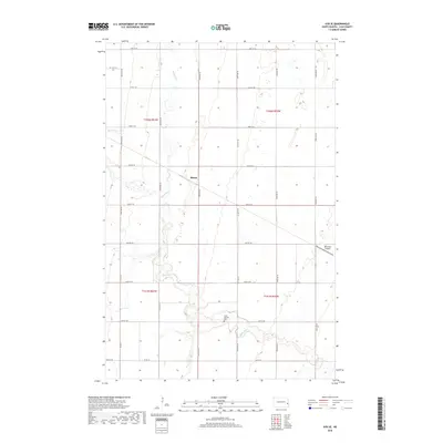
2018 Map of Ayr SE
USGS Topo · Published 2018About this map
Rush River meanders across this rural Cass County landscape, carving a subtle path through the agricultural grid of the Red River Valley. The settlement of Mason and the nearby Saint Martins Cem serve as quiet anchors for this farming community, reflecting the area's late 20th-century character. The land is organized by a precise network of section lines, including Co Rd 5 and Co Rd 32, which facilitate the movement of local crops. In the eastern portion of the quadrangle, Peterson Airport provides a specialized transport link for the region. This 2018 survey captures the enduring pattern of North Dakota prairie life, where small-scale local landmarks and family-named infrastructure define the human geography of the plains.
Find a feature on this map
26 named features on this map. Tap any name to fly to it.
Don’t see what you’re looking for? This feature index may not catch every label — zoom into the map to look around manually.
Map Details
Editions of this 2018 Ayr SE Map
This is the sole edition of this map. No revisions or reprints were ever made.
Other maps of this area

1895 · Casselton
USGS Topo · 1:125,000

1897 · Casselton
USGS Topo · 1:125,000

1952 · Grand Forks
USGS Topo · 1:250,000

1953 · Fargo
USGS Topo · 1:250,000

1956 · Fargo
USGS Topo · 1:250,000

1956 · Grand Forks
USGS Topo · 1:250,000

1961 · Casselton
USGS Topo · 1:24,000

1966 · Grand Forks
USGS Topo · 1:250,000

1967 · Ayr NE
USGS Topo · 1:24,000

1967 · Ayr NW
USGS Topo · 1:24,000