
1967 Map of Ayr NW
USGS Topo · Published 1969About this map
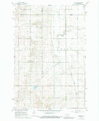
The Great Northern railroad corridor serves as the primary north-south spine for this agricultural landscape on the border of Cass, Traill, and Steele Counties. Surveyed in the late 1960s, the map reveals a highly structured grid of townships including Broadlawn, Galesburg, Page, and Dows. The land use is defined by large-scale farming, evidenced by the numerous fine dashed lines indicating field boundaries and the presence of small private aviation facilities like Conrad Landing Strip and a secondary Landing Strip.
Find a feature on this map
15 named features on this map. Tap any name to fly to it.
Don’t see what you’re looking for? This feature index may not catch every label — zoom into the map to look around manually.
Map Details
Editions of this 1967 Ayr NW Map
2 editions found
Other maps of this area

1952 · Grand Forks
USGS Topo · 1:250,000

1956 · Grand Forks
USGS Topo · 1:250,000

1966 · Grand Forks
USGS Topo · 1:250,000

1966 · Galesburg
USGS Topo · 1:24,000

1966 · Hope SE
USGS Topo · 1:24,000

1967 · Page SE
USGS Topo · 1:24,000

1967 · Ayr NE
USGS Topo · 1:24,000

1967 · Page
USGS Topo · 1:24,000
1967 · Ayr SE
USGS Topo · 1:24,000
1967 · Ayr
USGS Topo · 1:24,000