
1967 Map of Page
USGS Topo · Published 1969About this map
The Page settlement and its connection to the Great Northern railroad dominate this late-1960s landscape in Cass County. This agricultural region is defined by the headwaters of the Goose River and the South Branch Goose River in the north, while the Elm River drains the southeastern portion of the map. The rail line cuts a sharp diagonal from Nolan northwest through Page, highlighting the transportation network that sustained these prairie townships. Grounded in the Department of the Interior's Missouri River Basin development program, this survey records the precise grid of the Red River Valley, noting vital infrastructure such as the Water Tank in town and the Page Cem to the south. Local land use is further detailed by features like the Gravel Pit and the Sewage Disposal Pond, reflecting the mid-century municipal footprint of this rural hub.
Find a feature on this map
18 named features on this map. Tap any name to fly to it.
Don’t see what you’re looking for? This feature index may not catch every label — zoom into the map to look around manually.
Map Details
Editions of this 1967 Page Map
This is the sole edition of this map. No revisions or reprints were ever made.
Other maps of this area

1952 · Grand Forks
USGS Topo · 1:250,000

1956 · Grand Forks
USGS Topo · 1:250,000

1966 · Grand Forks
USGS Topo · 1:250,000

1966 · Galesburg
USGS Topo · 1:24,000

1966 · Hope SE
USGS Topo · 1:24,000

1967 · Page SE
USGS Topo · 1:24,000

1967 · Ayr NW
USGS Topo · 1:24,000
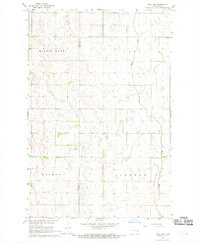
1967 · Page SW
USGS Topo · 1:24,000

1967 · Colgate
USGS Topo · 1:24,000
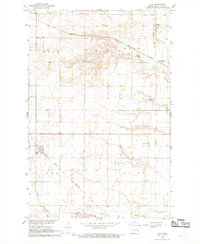
1967 · Ayr
USGS Topo · 1:24,000