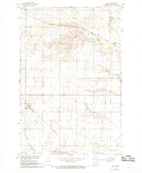
1967 Map of Ayr
USGS Topo · Published 1969About this map
Ayr sits at a crossroads in the Red River Valley, a quiet center in a landscape shaped by agricultural townships and the Great Northern railroad. Surveyed in the mid-1960s, this area of Cass County is defined by the organized grids of Rich, Erie, and Empire townships. The local infrastructure of the era is remarkably clear, showing the transition from traditional rail-side communities like Erie Junction to modern aviation needs, represented by the Schroeder Landing Strip located just south of the town of Erie.
Find a feature on this map
11 named features on this map. Tap any name to fly to it.
Don’t see what you’re looking for? This feature index may not catch every label — zoom into the map to look around manually.
Map Details
Editions of this 1967 Ayr Map
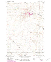
2 editions found
Other maps of this area

1895 · Casselton
USGS Topo · 1:125,000

1897 · Tower
USGS Topo · 1:125,000

1897 · Casselton
USGS Topo · 1:125,000

1952 · Grand Forks
USGS Topo · 1:250,000

1953 · Fargo
USGS Topo · 1:250,000

1956 · Fargo
USGS Topo · 1:250,000

1956 · Grand Forks
USGS Topo · 1:250,000

1966 · Grand Forks
USGS Topo · 1:250,000

1967 · Page SE
USGS Topo · 1:24,000

1967 · Ayr NE
USGS Topo · 1:24,000