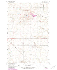
1967 Map of Ayr
USGS Topo · Published 1984About this map
Erie and Ayr anchor this mid-continent landscape in Cass County, where the iron rails of the Burlington Northern railroad dictate the layout of local commerce. This survey reflects the region in the late 1960s with 1980s updates, highlighting the importance of water management and recreation at the Erie Dam State Recreation Area. The artificial Brewer Lake stands out against the surrounding township lines of Rich and Empire, serving as a central geographic feature for the community.
Find a feature on this map
13 named features on this map. Tap any name to fly to it.
Don’t see what you’re looking for? This feature index may not catch every label — zoom into the map to look around manually.
Map Details
Editions of this 1967 Ayr Map
2 editions found
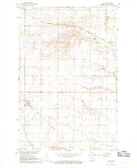
Other maps of this area

1895 · Casselton
USGS Topo · 1:125,000

1897 · Tower
USGS Topo · 1:125,000

1897 · Casselton
USGS Topo · 1:125,000

1952 · Grand Forks
USGS Topo · 1:250,000

1953 · Fargo
USGS Topo · 1:250,000

1956 · Fargo
USGS Topo · 1:250,000

1956 · Grand Forks
USGS Topo · 1:250,000

1966 · Grand Forks
USGS Topo · 1:250,000

1967 · Page SE
USGS Topo · 1:24,000

1967 · Ayr NE
USGS Topo · 1:24,000