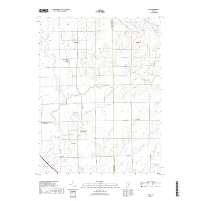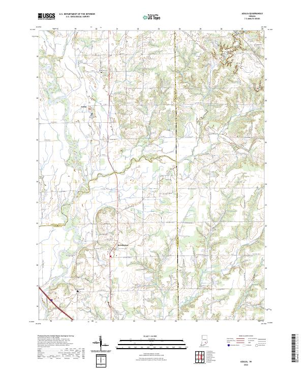
2022 Map of Azalia
USGS Topo · Published 2022About this map
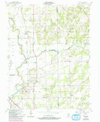
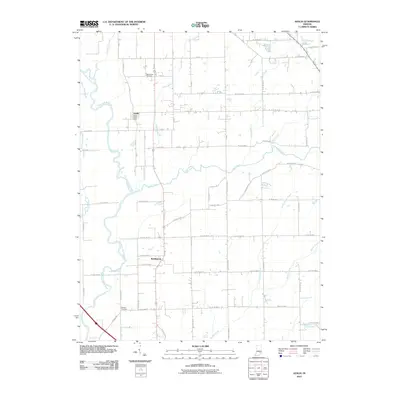
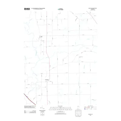
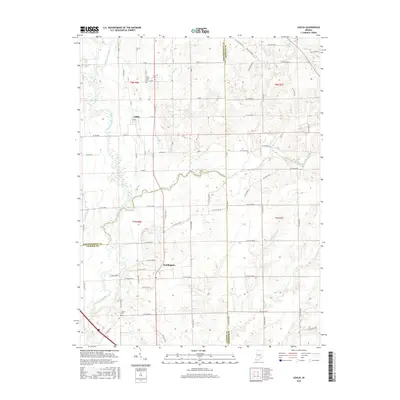
The East Fork White River anchors the southwestern corner of this landscape, where the confluence of Thompson Slough and Storm Cr defines the bottomlands. This modern survey illustrates the rural character of the borderlands between Bartholomew, Jennings, and Jackson Counties, where small settlements like Azalia and Reddington are linked by a dense network of county roads. The terrain is deeply etched by a complex drainage system including Sand Creek, Mutton Cr, and Little Mutton Cr.
Find a feature on this map
83 named features on this map. Tap any name to fly to it.
Don’t see what you’re looking for? This feature index may not catch every label — zoom into the map to look around manually.
Map Details
Editions of this 2022 Azalia Map
This is the sole edition of this map. No revisions or reprints were ever made.
Historical Maps of Reddington Through Time
6 maps found