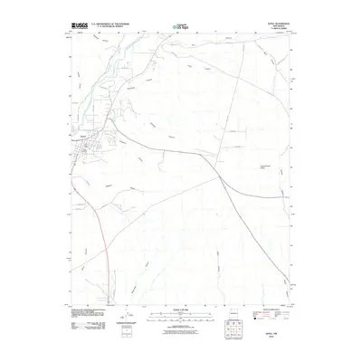
2010 Map of Aztec
USGS Topo · Published 2010About this map
Aztec serves as the focal point of this northwestern New Mexico landscape, where the Animas River and Aztec Ditch provide a vital water supply for the valley. The town layout is clearly defined, including the Aztec Post Office and the Aztec Cemetery, which offer valuable points of interest for genealogists and local historians. This era shows a community structured around its water rights and the rugged geography of the surrounding high desert.
Find a feature on this map
39 named features on this map. Tap any name to fly to it.
Don’t see what you’re looking for? This feature index may not catch every label — zoom into the map to look around manually.
Map Details
Editions of this 2010 Aztec Map
This is the sole edition of this map. No revisions or reprints were ever made.
Other maps of this area

1889 · Largo
USGS Topo · 1:250,000

1889 · Chaco
USGS Topo · 1:250,000

1892 · Chaco
USGS Topo · 1:250,000

1895 · Largo
USGS Topo · 1:250,000

1954 · Shiprock
USGS Topo · 1:250,000

1954 · Aztec
USGS Topo · 1:250,000

1958 · Shiprock
USGS Topo · 1:250,000

1958 · Aztec
USGS Topo · 1:250,000

1959 · Shiprock
USGS Topo · 1:250,000

1959 · Aztec
USGS Topo · 1:62,500