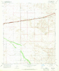
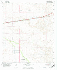
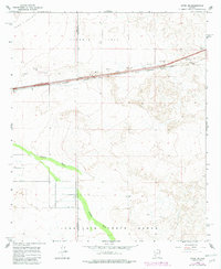
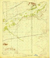
1965 Map of Aztec SE
USGS Topo · Published 1966About this map
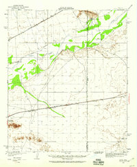
Stanwix Flats and the broad expanse of Park Valley dominate this mid-1960s desert landscape, where the southern reaches of the Luke Air Force Range occupy the lower portion of the terrain. The Southern Pacific railroad cuts a straight line through the northern half, serving the small settlement at Stanwix and passing several borrow pits that suggest the infrastructure needs of the era. The land is marked by the passage of water through Tenmile Wash, which winds across the basin toward the southwest. Life in this arid environment is tied to established water sources such as Stamps Well and other unnamed wells scattered near the railroad. A Jeep Trail provides one of the few ways to navigate the open country south of the tracks, while the boundary between Yuma and Maricopa counties bisects the quadrangle, marking a political division in the open desert.
Find a feature on this map
14 named features on this map. Tap any name to fly to it.
Don’t see what you’re looking for? This feature index may not catch every label — zoom into the map to look around manually.
Map Details
Editions of this 1965 Aztec SE Map
3 editions found
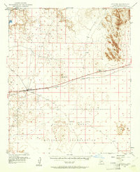
Other maps of this area
1927 · Aguila Mountains
USGS Topo · 1:48,000
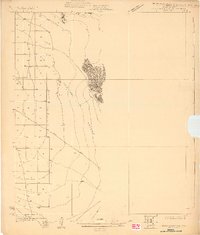
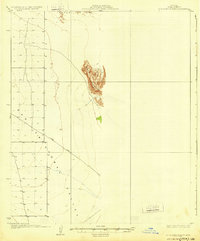
1929 · Aztec
USGS Topo · 1:62,500
1930 · Aguila Mountains
USGS Topo · 1:62,500
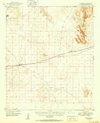
1949 · Sentinel
USGS Topo · 1:62,500
1950 · Sentinel
USGS Topo · 1:62,500
1950 · Aztec
USGS Topo · 1:62,500

1953 · Ajo
USGS Topo · 1:250,000

1957 · Ajo
USGS Topo · 1:250,000

1958 · Ajo
USGS Topo · 1:250,000

1962 · Ajo
USGS Topo · 1:250,000