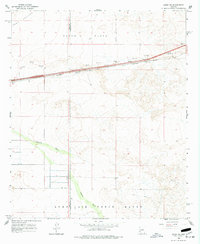
1965 Map of Aztec SE
USGS Topo · Published 1977About this map
Southern Pacific railroad tracks bisect this desert landscape in the mid-1960s, following a vital transportation corridor through southwestern Arizona. The tiny settlement of Stanwix sits along the rail line, surrounded by the open reaches of Stanwix Flats and Park Valley. This area represents a critical intersection of infrastructure and military reservation, as the southern portion of the map is dominated by the Luke Air Force Range.
Find a feature on this map
16 named features on this map. Tap any name to fly to it.
Don’t see what you’re looking for? This feature index may not catch every label — zoom into the map to look around manually.
Map Details
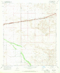
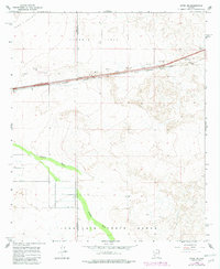
Editions of this 1965 Aztec SE Map
3 editions found
Other maps of this area

1927 · Aguila Mountains
USGS Topo · 1:48,000

1929 · Aztec
USGS Topo · 1:62,500

1930 · Aguila Mountains
USGS Topo · 1:62,500

1949 · Sentinel
USGS Topo · 1:62,500

1950 · Sentinel
USGS Topo · 1:62,500

1950 · Aztec
USGS Topo · 1:62,500

1953 · Ajo
USGS Topo · 1:250,000

1957 · Ajo
USGS Topo · 1:250,000

1958 · Ajo
USGS Topo · 1:250,000

1962 · Ajo
USGS Topo · 1:250,000