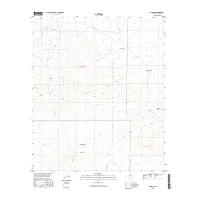
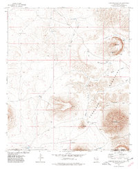
2017 Map of B T Ranch
USGS Topo · Published 2017About this map
B T Ranch serves as the primary named landmark in this high-desert portion of Otero County, where the landscape is defined by its water management infrastructure. Vital water sources for livestock and ranching operations are scattered throughout the territory, including Potter Tank, CCC Tank, and Brownfield Tank. The presence of the CCC Tank suggests historical developments dating back to the Civilian Conservation Corps era, pointing to early 20th-century conservation and rangeland improvements. The terrain transitions into Hackberry Draw in the east, while a network of county roads, such as Co RD f034 and Co RD f054, connect these remote desert features. This map reveals the specialized nature of ranching in an arid environment, where man-made catchments like Jug Tank and Big Tank are as critical to the local geography as the natural drainage patterns.
Find a feature on this map
21 named features on this map. Tap any name to fly to it.
Don’t see what you’re looking for? This feature index may not catch every label — zoom into the map to look around manually.
Map Details
Editions of this 2017 B T Ranch Map
This is the sole edition of this map. No revisions or reprints were ever made.
Other maps of this area
1940 · Bassett Lake
USGS Topo · 1:62,500
1943 · Pendejo Wash
USGS Topo · 1:62,500
1943 · Bassett Lake
USGS Topo · 1:62,500

1954 · Carlsbad
USGS Topo · 1:250,000

1958 · Carlsbad
USGS Topo · 1:250,000
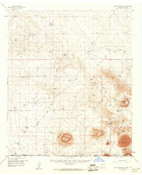
1959 · Alamo Mountain
USGS Topo · 1:62,500
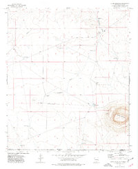
1975 · Alamo Mountain
USGS Topo · 1:24,000
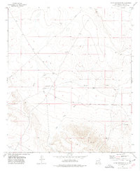
1975 · Alamo Mountain NE
USGS Topo · 1:24,000
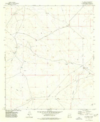
1975 · B T Ranch
USGS Topo · 1:24,000
1975 · Cornudas Mountain
USGS Topo · 1:24,000