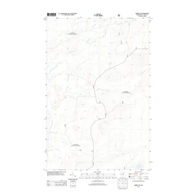
2013 Map of Babbitt SW
USGS Topo · Published 2013About this map
Superior National Forest encompasses the majority of this Saint Louis County landscape, dominated by a dense network of waterways and timberland. The Partridge River and its tributary, the S Br Partridge River, wind through the terrain, defining the local hydrology alongside smaller streams like Stubble Cr and Yelp Cr. To the south, Stone Lake and Colvin Cr mark the lower reaches of the quadrangle. Human presence is largely defined by the forest management road system, including Co Rd 680 and local routes like 113 and 420, which provide access through the heavy cover. This 2013 survey illustrates the northern Minnesota wilderness before recent shifts in land use, showing a preserved environment centered on the headwaters of these significant local drainages.
Find a feature on this map
17 named features on this map. Tap any name to fly to it.
Don’t see what you’re looking for? This feature index may not catch every label — zoom into the map to look around manually.
Map Details
Editions of this 2013 Babbitt SW Map
This is the sole edition of this map. No revisions or reprints were ever made.
Other maps of this area

1949 · Isaac Lake
USGS Topo · 1:24,000

1949 · Allen
USGS Topo · 1:24,000

1950 · Isaac Lake
USGS Topo · 1:24,000

1950 · Allen
USGS Topo · 1:24,000

1951 · Babbitt SW
USGS Topo · 1:24,000

1951 · Babbitt
USGS Topo · 1:24,000

1952 · Babbitt SE
USGS Topo · 1:24,000

1952 · Babbitt NE
USGS Topo · 1:24,000

1954 · Two Harbors
USGS Topo · 1:250,000

1954 · Hibbing
USGS Topo · 1:250,000