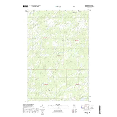
2019 Map of Babbitt SW
USGS Topo · Published 2019About this map
Babbitt sits at the northern edge of this northern Minnesota landscape, where the iron-rich terrain of the Mesabi Range meets the expansive woods of the Superior National Forest. The map captures a topography defined by complex water systems, including the meandering Partridge River and its multiple branches, alongside localized basins like Cranberry Lake and Stone Lake. The industrial character of the region is evident in the specialized transportation network designed for timber and ore extraction. Named rail lines such as the Cranberry Spur J and Skibo Spur G cut through the forest, connecting remote wetlands and stream valleys like Colvin Cr to the broader regional economy. The presence of Dunka Mine Road further illustrates the ongoing relationship between the land and the mining industry in Saint Louis County.
Find a feature on this map
22 named features on this map. Tap any name to fly to it.
Don’t see what you’re looking for? This feature index may not catch every label — zoom into the map to look around manually.
Map Details
Editions of this 2019 Babbitt SW Map
This is the sole edition of this map. No revisions or reprints were ever made.
Other maps of this area

1949 · Isaac Lake
USGS Topo · 1:24,000

1949 · Allen
USGS Topo · 1:24,000

1950 · Isaac Lake
USGS Topo · 1:24,000

1950 · Allen
USGS Topo · 1:24,000

1951 · Babbitt SW
USGS Topo · 1:24,000

1951 · Babbitt
USGS Topo · 1:24,000

1952 · Babbitt SE
USGS Topo · 1:24,000

1952 · Babbitt NE
USGS Topo · 1:24,000

1954 · Two Harbors
USGS Topo · 1:250,000

1954 · Hibbing
USGS Topo · 1:250,000