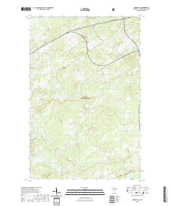
2022 Map of Babbitt SW
USGS Topo · Published 2022About this map
Babbitt stands at the northwestern edge of this landscape, situated within the dense wetlands and timber of the Superior National Forest. This Iron Range terrain is defined by a complex network of water, including the Partridge River and its South Branch, which drain through the boggy lowlands toward Stone Lake in the southeast. Industrial transport routes, such as Dunka Mine Road, cut through the forest to support the region's mining operations. Local infrastructure is further detailed by the presence of Skibo Spur G and Cranberry Spur J, reflecting the area's history of resource extraction. Small waterways like Colvin Cr and Stubble Cr thread between Cranberry Lake and the various unnamed wetlands that dominate the central part of the quadrangle.
Find a feature on this map
20 named features on this map. Tap any name to fly to it.
Don’t see what you’re looking for? This feature index may not catch every label — zoom into the map to look around manually.
Map Details
Editions of this 2022 Babbitt SW Map
This is the sole edition of this map. No revisions or reprints were ever made.
Other maps of this area

1949 · Isaac Lake
USGS Topo · 1:24,000

1949 · Allen
USGS Topo · 1:24,000

1950 · Isaac Lake
USGS Topo · 1:24,000

1950 · Allen
USGS Topo · 1:24,000

1951 · Babbitt SW
USGS Topo · 1:24,000

1951 · Babbitt
USGS Topo · 1:24,000

1952 · Babbitt SE
USGS Topo · 1:24,000

1952 · Babbitt NE
USGS Topo · 1:24,000

1954 · Two Harbors
USGS Topo · 1:250,000

1954 · Hibbing
USGS Topo · 1:250,000