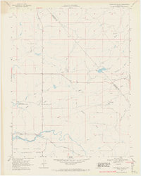
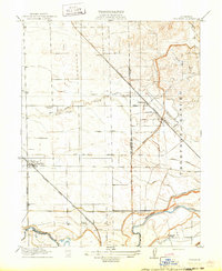
1968 Map of Bachelor Valley
USGS Topo · Published 1971About this map
Bachelor Valley is defined by its seasonal creek beds and the early rural infrastructure of eastern Stanislaus County. The settlement of Eugene serves as a small focal point near the southern edge, where Littlejohns Creek flows toward the Farmington Flood Control Basin. This landscape reveals a history of cattle ranching and water management, evidenced by the Snow Ranch and Bund Ranch, along with several small dams like Orvis Dam.
Find a feature on this map
31 named features on this map. Tap any name to fly to it.
Don’t see what you’re looking for? This feature index may not catch every label — zoom into the map to look around manually.
Map Details
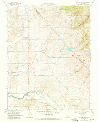
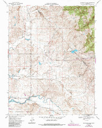
Editions of this 1968 Bachelor Valley Map
3 editions found
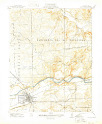
Other maps of this area

1889 · Jackson
USGS Topo · 1:125,000

1892 · Jackson
USGS Topo · 1:125,000

1897 · Jackson
USGS Topo · 1:125,000

1902 · Jackson
USGS Topo · 1:125,000
1915 · Oakdale
USGS Topo · 1:31,680

1915 · Trigo
USGS Topo · 1:31,680
1915 · Thalheim
USGS Topo · 1:31,680

1916 · Bachelor Valley
USGS Topo · 1:31,680
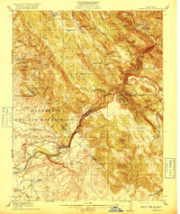
1916 · Copperopolis
USGS Topo · 1:62,500
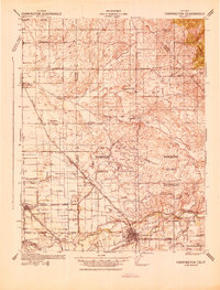
1942 · Farmington
USGS Topo · 1:62,500