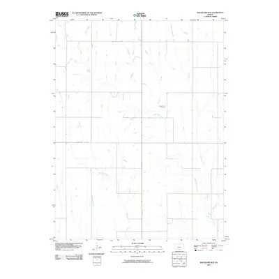
2009 Map of Bachelors Run
USGS Topo · Published 2009About this map
Middle Beaver Creek and its many tributaries define this section of the northern Kansas agricultural landscape. The terrain is characterized by a dense network of watercourses, including Bachelors Run, West Beaver Creek, and Cottonwood Creek, which feed into the larger regional drainage system. This intricate hydrography underscores the importance of water management in Smith County's rural development. The human imprint on the land is marked by a rectilinear grid of section roads, such as Co RD 629, and the presence of Pleasant Hill Cemetery, a key local landmark for genealogical research. The map illustrates a mature rural infrastructure where small creeks like Iowa Creek and Reams Creek continue to shape the placement of homesteads and field boundaries in this prairie environment.
Find a feature on this map
9 named features on this map. Tap any name to fly to it.
Don’t see what you’re looking for? This feature index may not catch every label — zoom into the map to look around manually.
Map Details
Editions of this 2009 Bachelors Run Map
This is the sole edition of this map. No revisions or reprints were ever made.
Other maps of this area

1893 · Smith Center
USGS Topo · 1:125,000

1893 · Phillipsburg
USGS Topo · 1:125,000

1896 · Holdrege
USGS Topo · 1:125,000

1897 · Red Cloud
USGS Topo · 1:125,000

1955 · Grand Island
USGS Topo · 1:250,000

1955 · Beloit
USGS Topo · 1:250,000

1957 · Grand Island
USGS Topo · 1:250,000

1958 · Grand Island
USGS Topo · 1:250,000

1959 · Beloit
USGS Topo · 1:250,000

1973 · Kensington
USGS Topo · 1:24,000