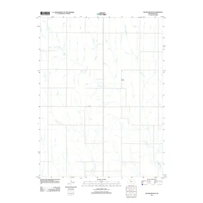
2012 Map of Bachelors Run
USGS Topo · Published 2012About this map
Pleasant Hill Cem stands as a central landmark in this Smith County landscape, where the prairie is defined by a dense network of branching waterways. The drainage pattern is led by the south-flowing Bachelors Run and the winding course of Middle Beaver Cr, which intersects several other tributaries including W Beaver Cr and Cottonwood Cr. The map reveals a highly structured rural environment, dominated by a strict grid of section lines and local routes like Co RD 629. This layout reflects the enduring impact of the Public Land Survey System on the Kansas plains, where agricultural life is organized around these primary water sources and the occasional hilltop cemetery that serves the surrounding farming community.
Find a feature on this map
7 named features on this map. Tap any name to fly to it.
Don’t see what you’re looking for? This feature index may not catch every label — zoom into the map to look around manually.
Map Details
Editions of this 2012 Bachelors Run Map
This is the sole edition of this map. No revisions or reprints were ever made.
Other maps of this area

1893 · Smith Center
USGS Topo · 1:125,000

1893 · Phillipsburg
USGS Topo · 1:125,000

1896 · Holdrege
USGS Topo · 1:125,000

1897 · Red Cloud
USGS Topo · 1:125,000

1955 · Grand Island
USGS Topo · 1:250,000

1955 · Beloit
USGS Topo · 1:250,000

1957 · Grand Island
USGS Topo · 1:250,000

1958 · Grand Island
USGS Topo · 1:250,000

1959 · Beloit
USGS Topo · 1:250,000

1973 · Kensington
USGS Topo · 1:24,000