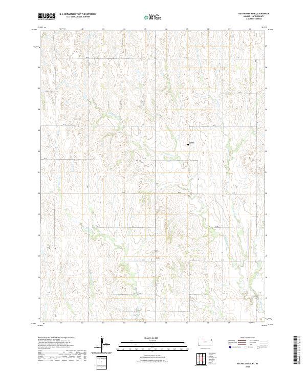
2022 Map of Bachelors Run
USGS Topo · Published 2022About this map
Pleasant Hill Cem stands as a central landmark in this portion of Smith County, marking the local heritage of a landscape defined by its network of prairie waterways. The terrain is intricately carved by several streams, including the namesake Bachelors Run and the winding Middle Beaver Cr, which intersect the section lines of Townships 1 and 2 South. The area's organized development is evidenced by a precise grid of rural roads, such as 20 RD through 95 RD, illustrating the systematic land division typical of the Kansas plains. Smaller tributaries like Cottonwood Cr, Calumet Cr, and W Beaver Cr contribute to the drainage patterns of this agricultural region, where the intersection of water resources and transportation routes shaped the early settlement and ongoing land use of the Smith County countryside.
Find a feature on this map
19 named features on this map. Tap any name to fly to it.
Don’t see what you’re looking for? This feature index may not catch every label — zoom into the map to look around manually.
Map Details
Editions of this 2022 Bachelors Run Map
This is the sole edition of this map. No revisions or reprints were ever made.
Other maps of this area

1893 · Smith Center
USGS Topo · 1:125,000

1893 · Phillipsburg
USGS Topo · 1:125,000

1896 · Holdrege
USGS Topo · 1:125,000

1897 · Red Cloud
USGS Topo · 1:125,000

1955 · Grand Island
USGS Topo · 1:250,000

1955 · Beloit
USGS Topo · 1:250,000

1957 · Grand Island
USGS Topo · 1:250,000

1958 · Grand Island
USGS Topo · 1:250,000

1959 · Beloit
USGS Topo · 1:250,000

1973 · Kensington
USGS Topo · 1:24,000