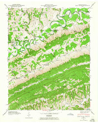
1946 Map of Back Valley
USGS Topo · Published 1965About this map
The Powell River snakes through a deeply dissected landscape along the Virginia Tennessee border, defining a territory where the topography dictated the patterns of settlement. Deep valleys like Wallen Ridge and Powell Mountain run parallel to the water, confining early communities and roads to the narrow lowlands. These mountain gaps, such as Bales Gap and Keaton Gap, served as vital conduits for movement between isolated ridges.
Find a feature on this map
103 named features on this map. Tap any name to fly to it.
Don’t see what you’re looking for? This feature index may not catch every label — zoom into the map to look around manually.
Map Details
Editions of this 1946 Back Valley Map
2 editions found
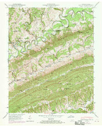
Other maps of this area

1883 · Morristown
USGS Topo · 1:125,000

1887 · Jonesville
USGS Topo · 1:125,000

1891 · Jonesville
USGS Topo · 1:125,000

1893 · Morristown
USGS Topo · 1:125,000

1895 · Morristown
USGS Topo · 1:125,000

1932 · Hagan
USGS Topo · 1:62,500
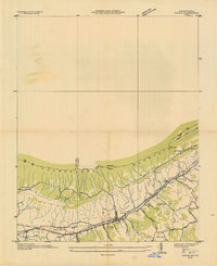
1935 · Ewing
USGS Topo · 1:24,000

1935 · Rogersville
USGS Topo · 1:48,000

1935 · Tate Springs
USGS Topo · 1:48,000

1935 · Lee Valley
USGS Topo · 1:24,000