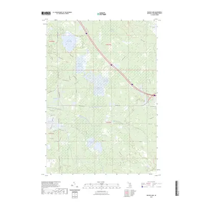
2023 Map of Backus Lake
USGS Topo · Published 2023About this map
Backus Lake and its surrounding floodwaters define the central portion of this Roscommon County landscape. The drainage system is dominated by extensive wetland areas such as Backus Creek Flooding and Little Mud Lake Flooding, which illustrate the complex hydrology of this region in north-central Michigan. The northeastern corner touches upon Lake Saint Helen, while the southwestern quadrant shows more recent residential development patterns near Lake James and Shadow Lake.
Find a feature on this map
48 named features on this map. Tap any name to fly to it.
Don’t see what you’re looking for? This feature index may not catch every label — zoom into the map to look around manually.
Map Details
Editions of this 2023 Backus Lake Map
This is the sole edition of this map. No revisions or reprints were ever made.
Other maps of this area

1954 · Traverse City
USGS Topo · 1:250,000

1958 · Traverse City
USGS Topo · 1:250,000

1963 · Roscommon South
USGS Topo · 1:24,000

1963 · Backus Lake
USGS Topo · 1:24,000

1963 · Prudenville
USGS Topo · 1:24,000
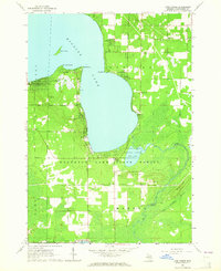
1963 · Lyon Manor
USGS Topo · 1:24,000

1965 · St. Helen NW
USGS Topo · 1:24,000

1965 · St. Helen
USGS Topo · 1:24,000

1969 · Meredith NW
USGS Topo · 1:24,000

1969 · Meredith
USGS Topo · 1:24,000