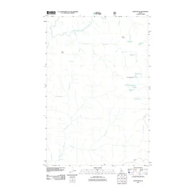
2011 Map of Bacon Peak
USGS Topo · Published 2011About this map
Bacon Peak and the surrounding high-country terrain of Shoshone County dominate this landscape, which is defined by an intricate network of alpine lakes and cold-water drainages. The north is bounded by the Saint Joe River, while the southeastern corner features a cluster of high-elevation water bodies near Five Lakes Butte, including Gold Lake, Silver Lake, and Platinum Lake. These mineral-themed names likely hint at the prospecting history of the Bitterroot range.
Find a feature on this map
25 named features on this map. Tap any name to fly to it.
Don’t see what you’re looking for? This feature index may not catch every label — zoom into the map to look around manually.
Map Details
Editions of this 2011 Bacon Peak Map
This is the sole edition of this map. No revisions or reprints were ever made.
Other maps of this area

1911 · Lolo
USGS Topo · 1:250,000

1913 · Lolo
USGS Topo · 1:250,000

1918 · St Regis
USGS Topo · 1:125,000

1919 · St. Regis
USGS Topo · 1:125,000

1956 · Wallace
USGS Topo · 1:250,000

1956 · Hamilton
USGS Topo · 1:250,000

1957 · Illinois Peak
USGS Topo · 1:62,500

1957 · Simmons Peak
USGS Topo · 1:62,500

1959 · Hamilton
USGS Topo · 1:250,000

1960 · Wallace
USGS Topo · 1:250,000