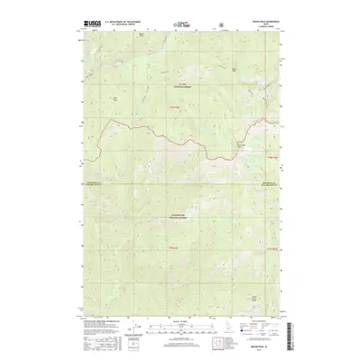
2017 Map of Bacon Peak
USGS Topo · Published 2017About this map
The St. Joe River winds through the northern portion of this area, marking a landscape defined by the intersection of the St. Joe National Forest and the Clearwater National Forest. Elevated landmarks such as Bacon Peak and Five Lakes Butte dominate the high country, where the boundary between Shoshone and Clearwater counties runs along a high ridge. This region is dotted with numerous small alpine water bodies, including the cluster of Silver Lake, Tin Lake, and Gold Lake near the center of the sheet, as well as the more remote Platinum Lake to the south. Transportation in this wilderness is limited to rugged tracks like the Bacon Loop and Bacon Lake routes, while drainage systems like Roaring Creek, Barren Creek, and Skull Creek carve deep through the forested basins.
Find a feature on this map
41 named features on this map. Tap any name to fly to it.
Don’t see what you’re looking for? This feature index may not catch every label — zoom into the map to look around manually.
Map Details
Editions of this 2017 Bacon Peak Map
This is the sole edition of this map. No revisions or reprints were ever made.
Other maps of this area

1911 · Lolo
USGS Topo · 1:250,000

1913 · Lolo
USGS Topo · 1:250,000

1918 · St Regis
USGS Topo · 1:125,000

1919 · St. Regis
USGS Topo · 1:125,000

1956 · Wallace
USGS Topo · 1:250,000

1956 · Hamilton
USGS Topo · 1:250,000

1957 · Illinois Peak
USGS Topo · 1:62,500

1957 · Simmons Peak
USGS Topo · 1:62,500

1959 · Hamilton
USGS Topo · 1:250,000

1960 · Wallace
USGS Topo · 1:250,000